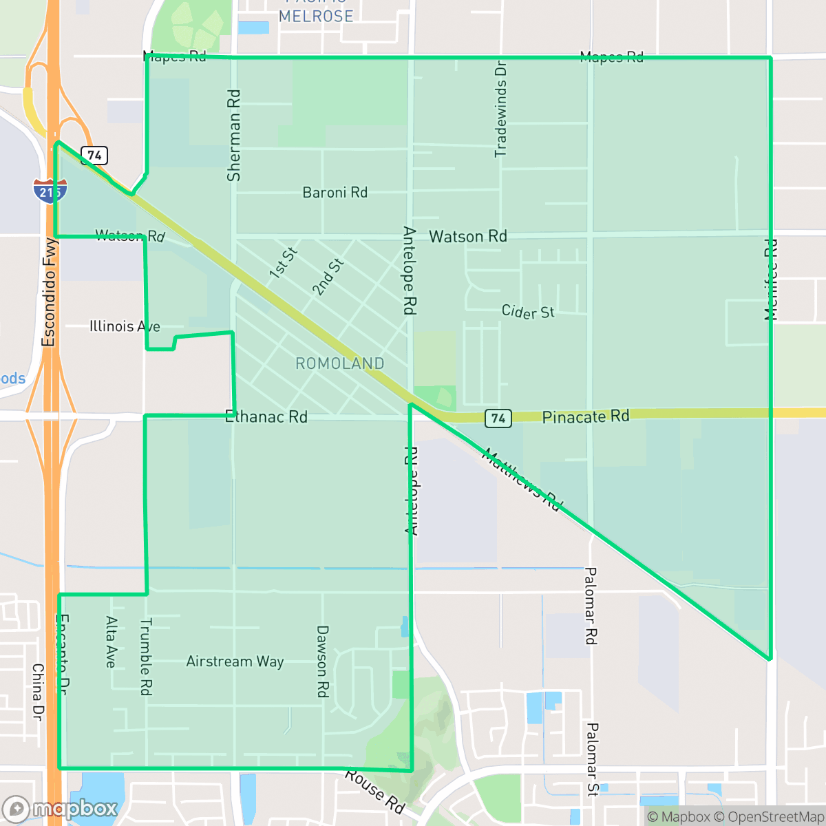
Romoland, Menifee
Updated June 22, 2026 · 6,190 residents
Romoland is a quiet, semi-rural community in Menifee defined by a mix of residential tracts, large open fields, and industrial logistics centers. While it offers an expansive atmosphere, residents should anticipate high levels of road noise and limited pedestrian infrastructure.
Key Highlights
About Romoland
Initially established in 1900 as the town of Ethanac, the Menifee neighborhood of Romoland was renamed in 1925 after the Pacific Mutual Life Insurance Company developed the area as "Romola Farms". The developer sold four- to five-acre ranches for cultivating fig trees and grapes. To avoid postal confusion with Ramona, the name was finalized as Romoland. Early landmarks include the 1918 Romoland School, built in the Spanish Mission architectural style. In 1985, Leon E. Motte constructed "Motte's Romola Farms" Barn off Highway 74 using salvaged materials. The barn served as a local produce stand before reopening in 2011 as the Motte Historical Museum, a classic car museum that preserves the neighborhood’s agricultural heritage. Romoland officially integrated into the newly incorporated City of Menifee in 2008.
The neighborhood functions as a transitional landscape where suburban residential pockets meet large-scale industrial warehouses and fallow agricultural land. It is characterized by low-density living, featuring a blend of standard tract housing and more isolated, rural-style lots. While the area provides a quieter alternative to more central parts of Menifee, the proximity to major logistics hubs and highway traffic contributes to a notable acoustic profile that residents should consider. The community maintains a distinct identity that balances its agricultural roots with the demands of modern industrial development. Prospective residents should note that the neighborhood has limited pedestrian infrastructure, making vehicle reliance essential for daily errands. According to iHuus data, the area faces specific challenges regarding acoustic comfort and fire safety, which are important factors for homeowners to evaluate. The neighborhood is best suited for those who prioritize space and a semi-rural atmosphere over proximity to walkable urban amenities and quiet residential streets.
Neighborhood Scores Across 15 Qualities
Residential spacing varies significantly across the area, ranging from dense housing clusters to large, isolated lots in the northern reaches. This level of seclusion is roughly in line with the average seen throughout Menifee.
Walking may require using dirt shoulders or road edges due to inconsistent sidewalks. This level of walkability is notably lower than the Menifee average.
Standard tract housing with backyard pools is interspersed with older, less maintained rural structures. This variety of property styles makes the visual landscape less cohesive than the average for Menifee.
Private fenced yards and open dirt lots are common, but public access to green space is below the Menifee average. Residents will find fewer manicured sidewalks or public parks compared to other parts of the city, according to iHuus data.
Expansive open lands, agricultural fields, and scattered low-density housing define this area. According to iHuus data, this neighborhood possesses a more rural character than the typical Menifee residential zone.
Low-density residential and industrial landscapes define this area, which lacks the commercial density found elsewhere in Menifee. Residents will find a tranquil but car-dependent environment with very few walkable services or social hubs available.
Frequent disturbances from nearby railroad tracks and heavy traffic are common in this area. According to iHuus data, acoustic comfort is significantly lower than the Menifee city average.
Air quality remains consistently good with rare instances of elevated readings. According to iHuus data, the atmospheric conditions in Romoland are typical of the Menifee average.
Primarily residential and agricultural in character, this area lacks the heavy manufacturing and logistics hubs found more frequently across Menifee. While some light utility structures and storage yards are present, they do not reach the industrial density seen in other parts of the city.
Health insurance access among residents is relatively high and remains largely consistent with the broader Menifee area, according to iHuus data.
Political views in this area are balanced between conservative and liberal leanings, representing a more even split than the typical Menifee average according to iHuus data.
Residents live alongside a balanced mix of young adults, families, and seniors. This demographic distribution is largely consistent with the broader Menifee area, according to iHuus data.
Significant flood risk exists here due to the area's location within a 100-year floodplain, which is notably higher than the Menifee average. According to iHuus data, residents may find that flood insurance is typically required for properties in this neighborhood.
High fire danger characterizes this area, with risk levels significantly higher than the Menifee average. Residents should be prepared for extreme fire hazards and maintain rigorous protection measures according to iHuus data.
Block-Level Insights for Romoland

iHuus Neighborhood Intelligence Insights
Get block-level neighborhood insights for Romoland
- Street-level scores — see how individual blocks compare, not just neighborhood averages
- Micro-zone boundaries — identify quiet pockets, flood boundaries, and walkable clusters before you visit
- 15 dimensions in full — walkability, noise, air quality, school quality, insurance coverage, population age profile, urban/rural index, and more
- Boundary risk alerts — know if your address sits near a block boundary where scores drop, the kind of detail no listing will ever mention
- School insights — individual school ratings and insights, not just district-level data
- Compare before you commit — side-by-side data across neighborhoods, down to block precision
No credit card required
Compare with Any Neighborhood
| Dimension | Romoland | Quail Valley |
|---|---|---|
| 🚶 Walkabilityavg 8.14 | ||
| 🔊 Acoustic Comfortavg 3.26 | ||
| 🤫 Privacy Indexavg 5.84 | ||
| 🎨 Visual Appealavg 6.78 | ||
| 🐕 Dog Friendlinessavg 6.38 | ||
| 🗺️ Urban-Rural Indexavg 7.76 | ||
| ✨ Neighborhood Vibeavg 4.27 | ||
| 🏥 Health Insurance Coverageavg 7.01 | ||
| 🌿 Air Qualityavg 8.08 | ||
| 🏭 Industrial Proximityavg 9.15 | ||
| 🌊 Flood Safetyavg 3.59 | ||
| 🗳️ Ideological Leanavg 3.3 | ||
| 👥 Population Age Profileavg 5.04 | ||
| 🔥 Fire Safetyavg 1.04 | ||
| 🏫 School Quality |
Romoland Rankings
School Districts Serving Romoland
Menifee Union School District is a solid 'Transition' district (Rating: 3) characterized by rapid expansion and a bifurcated academic portfolio. While the district maintains strong literacy gains and earns national accolades for its arts and STEAM initiatives, it faces significant challenges with middle school performance and overcrowding in high-growth areas like Winchester. Financial stability is maintained through successful utilization of developer fees and state grants, yet the operational strain of redrawing boundaries and administrative turnover prevents it from reaching a higher stability tier. It remains a desirable destination for families in the Inland Empire, provided they can navigate the 'good school vs. underperforming school' gaps prevalent within its current 17-school roster.
Schools
Romoland Elementary School District is a 'Mixed/Transition' organization characterized by excellent financial management and modern facilities but struggling academic outcomes. While the district has successfully opened state-of-the-art campuses like Granite Hills and maintains a 'clean' audit status with stable labor relations, its academic floor is low, with several key schools performing in the bottom tier of state metrics. Proficiency in core subjects remains a significant challenge, particularly at the middle school level. However, the district's ability to pass bond-funded projects and maintain operational 'Green' flags on state dashboards suggests a stable administrative foundation that is currently prioritizing infrastructure and 'whole-child' support over immediate test score growth.
Schools
School Insights for Romoland
Below average outcomes; significant attendance and academic challenges.
School Insights
See what's really behind every school rating near Romoland
- Individual school ratings — each school's own score with outcome context, not just a district average
- Enrollment & class size data — student-to-teacher ratio and how it compares to the state average
- Full demographics breakdown — ethnicity and gender composition for every school in the enrollment zone
- Every school in the district — all schools within the enrollment boundary ranked by rating, not just the closest one
- Grade levels & benchmarks — elementary through high school, with below/above state-average flags
No credit card required