Sycamore Park, Malibu
Updated June 22, 2026 · 171 residents
Sycamore Park is a secluded coastal enclave defined by its high visual appeal and immediate access to the Escondido Canyon trail system. While the area offers a serene, rural atmosphere, residents experience significant noise from Pacific Coast Highway traffic and limited walkability.
Key Highlights
About Sycamore Park
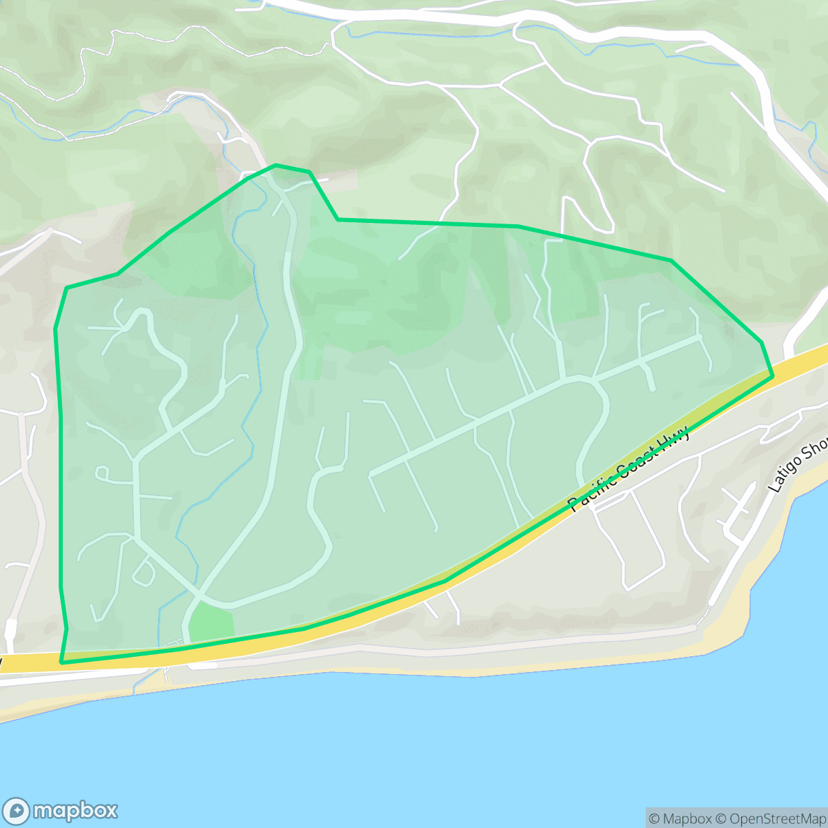
Located in Central Malibu across the Pacific Coast Highway from Escondido Beach, the Sycamore Park neighborhood originated as early 20th-century ranching and agricultural land. In the 1930s, investors purchased the property planning to build a modest, Spanish-style residential tract for middle-class families. However, development was delayed by World War II, and construction did not begin until the early 1960s. Today, the secluded enclave consists of three main streets—Via Escondido, Sea Vista, and Sycamore Meadows—fanning out from PCH. The neighborhood is characterized by a mix of mid-century ranch-style homes and contemporary estates nestled among mature sycamores. Residents enjoy deeded private access to Escondido Beach via an underpass beneath PCH and close proximity to the Escondido Canyon trail system, which leads to the area’s famous seasonal waterfall.
The neighborhood serves as a quiet residential pocket, characterized by its natural beauty and immediate access to the coastline. According to iHuus data, the area maintains a high degree of visual appeal due to its mature sycamore trees and diverse architectural styles. It functions as a low-density retreat where residents prioritize proximity to nature, such as the nearby waterfall trails, over urban convenience.
Living here involves specific trade-offs, particularly regarding acoustic comfort and environmental safety. The proximity to the Pacific Coast Highway results in consistent traffic noise, and the area faces significant wildfire risks. While the community benefits from excellent health insurance coverage and high-performing local schools, the limited walkability and low overall liveliness make it better suited for those seeking a quiet, car-dependent lifestyle rather than an active social scene.
Neighborhood Scores Across 15 Qualities
Homes feature mixed spacing with some buffer between neighbors, though privacy levels are slightly lower than the Malibu average according to iHuus data.
Quiet streets allow for walking, but the lack of sidewalks makes navigation less pedestrian-friendly than the Malibu average. According to iHuus data, this area is better suited for walking alongside motorists rather than on dedicated pedestrian paths.
Large estates featuring custom architecture and significant privacy buffers define the local landscape. This area offers a level of visual quality that is even higher than the average for Malibu.
Connected green spaces and wide, low-traffic paths provide reliable areas for pet exercise, though options are slightly below the Malibu average.
Sparse development and abundant natural landscape characterize this area. According to iHuus data, the setting is slightly less rural than the broader Malibu area, though it remains heavily dominated by open space and minimal building density.
Low-density housing and vast open spaces define this area, which offers significantly less commercial activity than the typical Malibu neighborhood. According to iHuus data, the landscape is primarily rural and lacks a distinct commercial character or frequent local destinations.
Frequent aircraft noise from a nearby runway defines the local acoustic environment, which is notably louder than the average for Malibu. According to iHuus data, this area lacks significant acoustic comfort due to its proximity to flight paths.
Air quality remains consistently clear with infrequent periods of poor ventilation. This level of air purity is on par with the rest of Malibu.
No warehouses, industrial facilities, or hazardous sites are present within the neighborhood. This area is exclusively residential with open green spaces, which is consistent with the high standard of the broader Malibu area according to iHuus data.
Nearly all residents in this area are covered by health insurance, which is notably higher than the average for Malibu. According to iHuus data, access to health benefits is exceptionally stable throughout the neighborhood.
Voting patterns and census indicators show a predominantly liberal political leaning that is more pronounced than the average for Malibu. According to iHuus data, the area reflects consistent liberal-leaning social and civic trends.
A varied mix of young adults, families, and older residents defines the local community. This demographic spread is slightly more diverse than the average seen throughout Malibu.
Properties in this area are located within a designated floodplain, meaning residents may face a higher risk of flooding and likely need to maintain flood insurance. This level of vulnerability is notably higher than the average for Malibu.
Severe wildfire hazards persist in this area, matching the high level of risk found throughout Malibu. Residents must prioritize maximum protection measures and emergency preparedness due to this extreme fire danger.
Block-Level Insights for Sycamore Park

iHuus Neighborhood Intelligence Insights
Get block-level neighborhood insights for Sycamore Park
- Street-level scores — see how individual blocks compare, not just neighborhood averages
- Micro-zone boundaries — identify quiet pockets, flood boundaries, and walkable clusters before you visit
- 15 dimensions in full — walkability, noise, air quality, school quality, insurance coverage, population age profile, urban/rural index, and more
- Boundary risk alerts — know if your address sits near a block boundary where scores drop, the kind of detail no listing will ever mention
- School insights — individual school ratings and insights, not just district-level data
- Compare before you commit — side-by-side data across neighborhoods, down to block precision
No credit card required
Compare with Any Neighborhood
| Dimension | Sycamore Park | Malibu Park |
|---|---|---|
| 🚶 Walkabilityavg 5.25 | ||
| 🔊 Acoustic Comfortavg 0.92 | ||
| 🤫 Privacy Indexavg 6.96 | ||
| 🎨 Visual Appealavg 9.7 | ||
| 🐕 Dog Friendlinessavg 8.01 | ||
| 🗺️ Urban-Rural Indexavg 9.56 | ||
| ✨ Neighborhood Vibeavg 2.75 | ||
| 🏥 Health Insurance Coverageavg 9.45 | ||
| 🌿 Air Qualityavg 8.23 | ||
| 🏭 Industrial Proximityavg 9.93 | ||
| 🌊 Flood Safetyavg 4.85 | ||
| 🗳️ Ideological Leanavg 8.43 | ||
| 👥 Population Age Profileavg 5.39 | ||
| 🔥 Fire Safetyavg 0.16 | ||
| 🏫 School Quality |
Sycamore Park Rankings
School Districts Serving Sycamore Park
Santa Monica-Malibu Unified School District remains an elite academic performer with an A+ Niche rating and multiple state-level distinctions for its middle and continuation schools. Operationally, the district is undergoing a landmark reorganization to split into two separate entities by 2026, a move supported by both cities to improve local governance. While the district enjoys strong community backing and high teacher quality, it is currently navigating a structural budget deficit and declining enrollment that have triggered staff layoffs and concerns over the erosion of student support services. This fiscal tightening and structural transition place the district in a stable but transitional phase, balancing prestige with significant organizational change.
Schools
School Insights for Sycamore Park
Below average outcomes; significant attendance and academic challenges.
School Insights
See what's really behind every school rating near Sycamore Park
- Individual school ratings — each school's own score with outcome context, not just a district average
- Enrollment & class size data — student-to-teacher ratio and how it compares to the state average
- Full demographics breakdown — ethnicity and gender composition for every school in the enrollment zone
- Every school in the district — all schools within the enrollment boundary ranked by rating, not just the closest one
- Grade levels & benchmarks — elementary through high school, with below/above state-average flags
No credit card required