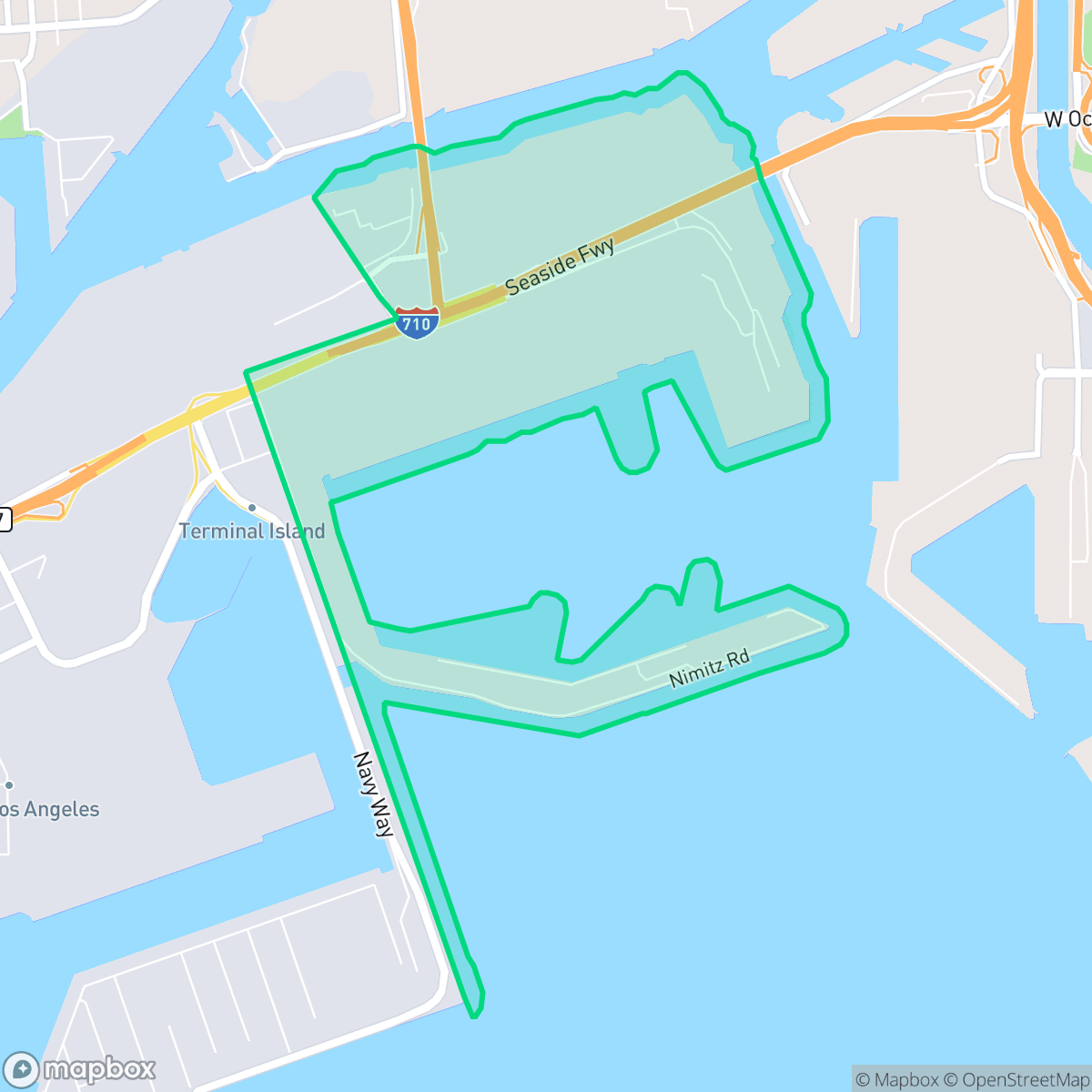
Terminal Island, Long Beach
Updated June 22, 2026 · 93 residents
Terminal Island is a massive industrial maritime hub situated between Long Beach and Los Angeles. The area is defined by its extensive container terminals, rail yards, and heavy shipping infrastructure, offering no residential or recreational space.
Key Highlights
About Terminal Island
Originally known as Rattlesnake Island, Terminal Island is a largely artificial landmass split between Long Beach and Los Angeles. In the early 20th century, it became home to a vibrant Japanese-American fishing village of over 3,000 residents centered around Fish Harbor. These residents pioneered the region's lucrative tuna-canning industry, establishing a tight-knit community on Tuna Street with its own distinct dialect. However, following the 1941 Pearl Harbor attack, the island became the first place in the nation where Japanese-Americans were forcibly evicted under Executive Order 9066; their homes and businesses were subsequently razed. During World War II, the island transformed into a massive naval and shipbuilding hub. Today, it remains heavily industrial, featuring the historic Federal Correctional Institution, Terminal Island (opened in 1938), and a memorial honoring its lost Japanese-American community.
The neighborhood functions exclusively as a critical node for global trade, characterized by a dense concentration of gantry cranes, oil storage tanks, and freight corridors. It is an industrial environment dominated by hardscape and large-scale logistics operations, lacking any pedestrian-friendly infrastructure, green spaces, or local businesses. The landscape is entirely utilitarian, serving as a high-intensity work zone rather than a traditional community setting.
Those researching the area should note that it is not a residential destination, as it contains no housing or social amenities. The environment is notably loud due to constant road traffic and industrial activity, while the proximity to heavy port operations creates a strictly commercial atmosphere. Given the significant environmental risks and the total absence of civilian infrastructure, it remains a space reserved for maritime and logistics professionals.
Neighborhood Scores Across 15 Qualities
Housing consists primarily of shared-wall structures such as townhomes and row houses. According to iHuus data, this level of residential density is significantly higher than the average for Long Beach.
Limited sidewalk availability and heavy industrial traffic make pedestrian travel challenging. This area is significantly less walkable than the rest of Long Beach according to iHuus data.
Visible debris, unpaved surfaces, and irregular structures characterize the landscape, resulting in a visual environment that is significantly less aesthetically pleasing than the Long Beach average. According to iHuus data, the area lacks the manicured appearance found in most other parts of the city.
Sparse greenery and narrow verges make for very few opportunities to walk dogs in the area. According to iHuus data, this lack of accessible outdoor space is significantly lower than the Long Beach average.
Heavy industrial maritime infrastructure and vast paved shipping terminals dominate this area, resulting in significantly less greenery and natural open space than the Long Beach average.
Heavy industrial landscapes and freight corridors dominate the area, resulting in much lower levels of social activity and commercial character than the Long Beach average. According to iHuus data, the environment is largely car-dependent with sparse local business density.
Steady traffic hum from nearby busy streets defines the acoustic environment. This level of sound is notably higher than the Long Beach average according to iHuus data.
Air quality is generally clear with infrequent spikes in pollutants, though it remains lower than the Long Beach average due to proximity to maritime and industrial operations. According to iHuus data, residents may encounter more frequent elevated readings compared to other parts of the city.
Significant maritime industrial activity, including oil tanks, container terminals, and large-scale logistics hubs, characterizes this area. This level of industrial density and associated machinery noise is much higher than the Long Beach average.
Residents live alongside a balanced mix of young adults, families, and seniors. This demographic distribution is consistent with the broader Long Beach area, according to iHuus data.
Located within a coastal high-hazard zone, this area faces significantly greater vulnerability to wave action and flooding than the rest of Long Beach. Residents should anticipate elevated or potentially prohibitive flood insurance costs according to iHuus data.
Block-Level Insights for Terminal Island

iHuus Neighborhood Intelligence Insights
Get block-level neighborhood insights for Terminal Island
- Street-level scores — see how individual blocks compare, not just neighborhood averages
- Micro-zone boundaries — identify quiet pockets, flood boundaries, and walkable clusters before you visit
- 15 dimensions in full — walkability, noise, air quality, school quality, insurance coverage, population age profile, urban/rural index, and more
- Boundary risk alerts — know if your address sits near a block boundary where scores drop, the kind of detail no listing will ever mention
- School insights — individual school ratings and insights, not just district-level data
- Compare before you commit — side-by-side data across neighborhoods, down to block precision
No credit card required
Compare with Any Neighborhood
| Dimension | Terminal Island | Airport Area |
|---|---|---|
| 🚶 Walkabilityavg 9.37 | ||
| 🔊 Acoustic Comfortavg 3.04 | ||
| 🤫 Privacy Indexavg 3.63 | ||
| 🎨 Visual Appealavg 6.3 | ||
| 🐕 Dog Friendlinessavg 5.35 | ||
| 🗺️ Urban-Rural Indexavg 6 | ||
| ✨ Neighborhood Vibeavg 5.01 | ||
| 🏥 Health Insurance Coverageavg 6.4 | ||
| 🌿 Air Qualityavg 8.69 | ||
| 🏭 Industrial Proximityavg 8.14 | ||
| 🌊 Flood Safetyavg 3.75 | ||
| 🗳️ Ideological Leanavg 9.2 | ||
| 👥 Population Age Profileavg 4.81 | ||
| 🔥 Fire Safety | ||
| 🏫 School Quality |
Terminal Island Rankings
School Districts Serving Terminal Island
LBUSD is currently a district in transition, characterized by a 'Mixed/Transition' status where high academic accolades for its specialty programs and elite high schools are overshadowed by a severe $70 million budget deficit and declining enrollment. While the district maintains strong feeder patterns into prestigious pathways, the pending layoff of over 500 staff members, significant equity gaps across its 82 campuses, and the impending retirement of its Superintendent create a volatile operational environment. Community trust is currently strained by fiscal austerity measures and a lack of parity between neighborhood schools, though the district's core academic results remain stable and slightly improving.
Schools
School Insights for Terminal Island
Below average outcomes; significant attendance and academic challenges.
School Insights
See what's really behind every school rating near Terminal Island
- Individual school ratings — each school's own score with outcome context, not just a district average
- Enrollment & class size data — student-to-teacher ratio and how it compares to the state average
- Full demographics breakdown — ethnicity and gender composition for every school in the enrollment zone
- Every school in the district — all schools within the enrollment boundary ranked by rating, not just the closest one
- Grade levels & benchmarks — elementary through high school, with below/above state-average flags
No credit card required