Saint Mary's, Long Beach
Updated June 22, 2026 · 3,951 residents
Saint Mary's is a centrally located, highly walkable urban enclave in Long Beach characterized by its dense grid and proximity to essential services. Residents benefit from excellent air quality and a vibrant street life, though the area is marked by close living quarters and moderate road traffic noise.
Key Highlights
About Saint Mary's
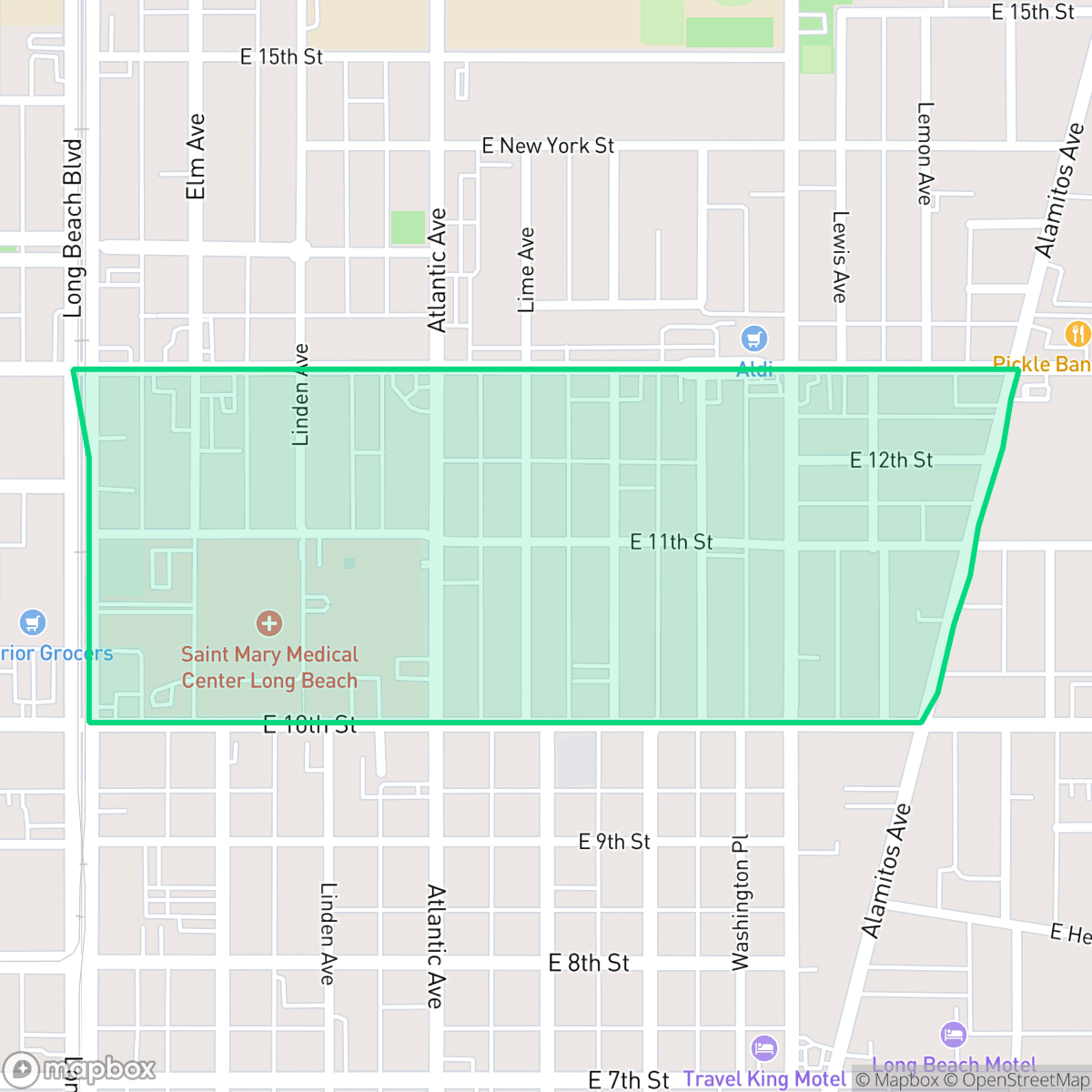
The Saint Mary’s neighborhood in Long Beach, California, is a centrally located urban enclave bounded by Pacific Avenue, Alamitos Avenue, Anaheim Street, and 7th Street. The neighborhood’s identity is anchored by the Dignity Health - St. Mary Medical Center, which opened in 1923 as the first Catholic hospital south of Los Angeles. After the devastating 1933 Long Beach earthquake destroyed the original facility, a new hospital was built in 1937. Designed by architect I.E. Loveless in the Art Deco style, this landmark stands as a prime example of the city’s "Post-Quake Moderne" architecture. Architecturally, the surrounding residential blocks feature a diverse mix of early 20th-century housing stock, including Craftsman bungalows, Spanish-style homes, and classic courtyard apartments.
The area serves as a dense, transit-oriented hub where the built environment prioritizes pedestrian accessibility over expansive green space. With high walkability, the neighborhood allows residents to easily reach local dining spots and institutional landmarks on foot. While the lack of private outdoor space and tight housing density may present challenges for those seeking seclusion, the neighborhood offers a high level of convenience for those who value an active, urban lifestyle. The local atmosphere is defined by its constant movement and diverse community, supported by nearby amenities like California Recreation Park. Prospective residents should note that the neighborhood experiences moderate road traffic noise and limited private yard space, making it better suited for individuals who prefer proximity to city services over suburban quietude.
Neighborhood Scores Across 15 Qualities
Residential structures are positioned very closely together, often with minimal separation or shared walls. According to iHuus data, this level of density is higher than the typical Long Beach average.
Pedestrians benefit from a dense street grid featuring continuous sidewalks on both sides of nearly every street and clearly marked crosswalks. This level of connectivity is slightly above the Long Beach average according to iHuus data.
Standard tract housing and multi-unit complexes define the landscape, offering a utilitarian aesthetic that is slightly below the Long Beach average. Most residential blocks feature boxy rooftops and small yards with limited private luxury amenities, according to iHuus data.
Limited sidewalk verges and a lack of large public parks within immediate walking distance make frequent outdoor exercise difficult. This neighborhood offers fewer green spaces for pets compared to the Long Beach average, according to iHuus data.
Streetscapes feature a balance of greenery and infrastructure, though the area feels more urbanized than the Long Beach average. According to iHuus data, the landscape consists of dense residential grids and significant grey infrastructure with limited large-scale open space.
Social hubs and diverse dining options create a lively atmosphere that is notably more active than the Long Beach average. Residents can find a consistent sense of movement throughout the area, ranging from dense urban corridors to active suburban blocks near local parks.
Persistent sounds from nearby railroad tracks and major freeways characterize the area. According to iHuus data, acoustic levels are slightly higher than the Long Beach average.
Air quality remains consistently high with minimal health concerns; this level of cleanliness is notably better than the Long Beach average according to iHuus data.
The area is primarily residential and institutional, though some western edges contain warehouse clusters and truck depots that may increase traffic. This level of industrial presence is slightly lower than the Long Beach average according to iHuus data.
Health insurance access is significantly lower in Saint Mary's compared to the Long Beach average, according to iHuus data.
Voting patterns and census indicators show a predominantly liberal leaning that is more pronounced than the Long Beach average. According to iHuus data, this reflects a deeply established progressive political identity within the community.
A diverse range of age groups resides here, including young adults, families, and seniors. This demographic spread is slightly more even than the broader Long Beach average, according to iHuus data.
Significant flood risk exists here because parts of the area fall within a designated floodplain. According to iHuus data, this level of vulnerability is notably higher than the Long Beach average.
Block-Level Insights for Saint Mary's

iHuus Neighborhood Intelligence Insights
Get block-level neighborhood insights for Saint Mary's
- Street-level scores — see how individual blocks compare, not just neighborhood averages
- Micro-zone boundaries — identify quiet pockets, flood boundaries, and walkable clusters before you visit
- 15 dimensions in full — walkability, noise, air quality, school quality, insurance coverage, population age profile, urban/rural index, and more
- Boundary risk alerts — know if your address sits near a block boundary where scores drop, the kind of detail no listing will ever mention
- School insights — individual school ratings and insights, not just district-level data
- Compare before you commit — side-by-side data across neighborhoods, down to block precision
No credit card required
Compare with Any Neighborhood
| Dimension | Saint Mary's | Airport Area |
|---|---|---|
| 🚶 Walkabilityavg 9.37 | ||
| 🔊 Acoustic Comfortavg 3.04 | ||
| 🤫 Privacy Indexavg 3.63 | ||
| 🎨 Visual Appealavg 6.3 | ||
| 🐕 Dog Friendlinessavg 5.35 | ||
| 🗺️ Urban-Rural Indexavg 6 | ||
| ✨ Neighborhood Vibeavg 5.01 | ||
| 🏥 Health Insurance Coverageavg 6.4 | ||
| 🌿 Air Qualityavg 8.69 | ||
| 🏭 Industrial Proximityavg 8.14 | ||
| 🌊 Flood Safetyavg 3.75 | ||
| 🗳️ Ideological Leanavg 9.2 | ||
| 👥 Population Age Profileavg 4.81 | ||
| 🔥 Fire Safety | ||
| 🏫 School Quality |
Saint Mary's Rankings
School Districts Serving Saint Mary's
LBUSD is currently a district in transition, characterized by a 'Mixed/Transition' status where high academic accolades for its specialty programs and elite high schools are overshadowed by a severe $70 million budget deficit and declining enrollment. While the district maintains strong feeder patterns into prestigious pathways, the pending layoff of over 500 staff members, significant equity gaps across its 82 campuses, and the impending retirement of its Superintendent create a volatile operational environment. Community trust is currently strained by fiscal austerity measures and a lack of parity between neighborhood schools, though the district's core academic results remain stable and slightly improving.
Schools
School Insights for Saint Mary's
Below average outcomes; significant attendance and academic challenges.
School Insights
See what's really behind every school rating near Saint Mary's
- Individual school ratings — each school's own score with outcome context, not just a district average
- Enrollment & class size data — student-to-teacher ratio and how it compares to the state average
- Full demographics breakdown — ethnicity and gender composition for every school in the enrollment zone
- Every school in the district — all schools within the enrollment boundary ranked by rating, not just the closest one
- Grade levels & benchmarks — elementary through high school, with below/above state-average flags
No credit card required