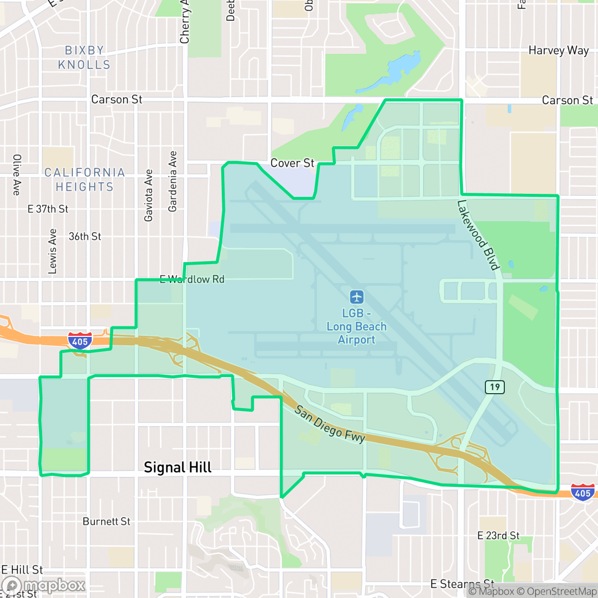
Airport Area, Long Beach
Updated June 22, 2026 · 3,372 residents
The Airport Area is defined by its proximity to Long Beach Airport and major logistics hubs, creating a landscape of warehouses, quiet suburban pockets, and industrial infrastructure. While it offers a unique connection to the city's aviation history, residents face high noise levels from air and road traffic and limited walkability.
Key Highlights
About Airport Area
The Airport Area neighborhood of Long Beach, California, is historically defined by its deep roots in early aviation and aerospace manufacturing. At its heart lies the Long Beach Airport (Daugherty Field), established in 1923 on land championed by pioneer aviator Earl Daugherty. The neighborhood’s architectural centerpiece is the airport’s 1941 Streamline Moderne terminal, designed by William Horace Austin and Kenneth Smith Wing, featuring WPA-funded mosaics. During World War II, the adjacent Douglas Aircraft Company plant became a vital defense hub, famously disguising its massive facility with a faux suburban neighborhood painted on its roof to evade enemy bombers. The area also served as a base for the Women Airforce Service Pilots (WASP). Today, the neighborhood retains its mid-century character, with residential development largely tracing back to the post-war aerospace boom.
The neighborhood is a distinct industrial and suburban hybrid characterized by large-scale logistics facilities, office parks, and active airport runways. Its layout is dominated by heavy infrastructure, including major highway interchanges and extensive warehousing, which creates a low-density environment with minimal commercial activity. While the area lacks the high walkability found in neighboring districts, it provides a functional, albeit quiet, setting for those who prioritize proximity to aviation and transportation corridors.
Living here involves significant trade-offs, particularly regarding acoustic comfort and privacy. According to iHuus data, the area experiences high noise levels due to constant aviation and road traffic, and the density of industrial facilities often limits local amenities. This location is best suited for individuals who work in logistics or aviation and value direct access to major transit routes over traditional neighborhood walkability or high-density social scenes.
Neighborhood Scores Across 15 Qualities
Residential spacing provides more seclusion than the Long Beach average, though some high density zones feature closely positioned structures. While many homes include private backyards, certain areas lack significant buffers between neighbors according to iHuus data.
Sidewalks and safe crossings are widely available on residential blocks, though overall pedestrian connectivity is slightly below the Long Beach average. Many daily errands can be completed on foot thanks to a consistent grid pattern and accessible nearby parks.
Manicured properties and upscale amenities featuring private pools are common in certain pockets, though industrial blocks and standard tract housing also contribute to a landscape that is slightly more visually diverse than the Long Beach average.
Proximity to a large central park and a significant green corridor provides reliable walking space for pets. According to iHuus data, these accessible green verges make the area slightly more dog friendly than the Long Beach average.
Large-scale industrial warehouses and airport infrastructure are interspersed with suburban residential pockets. This layout presents a more open, less densely urbanized character than the Long Beach average, according to iHuus data.
Primarily characterized by industrial warehouses and suburban streets, this area lacks a vibrant commercial core and feels significantly less lively than the Long Beach average. Most errands and dining options require a vehicle, as the landscape is dominated by freight corridors and limited, dispersed businesses.
Frequent noise from nearby flight paths, railroad tracks, and adjacent freeways makes this area significantly noisier than the Long Beach average. Residents should expect consistent acoustic disruptions throughout the day.
Air quality is consistently good with rare instances of elevated readings. This level of cleanliness is on par with the rest of Long Beach, according to iHuus data.
Frequent encounters with logistics hubs, airport runways, and large-scale warehouses create a more industrial landscape than most other Long Beach neighborhoods. Residents should expect significant truck traffic and noise from the adjacent airport and highway infrastructure.
Health insurance accessibility is notably higher here than the Long Beach average, according to iHuus data. Residents in this area have a greater likelihood of being covered by a health plan compared to most other parts of the city.
Voting patterns and census indicators reflect a strong liberal leaning, though this tendency is slightly lower than the Long Beach city average according to iHuus data.
Residents live alongside a diverse mix of young adults, families, and older populations. This age distribution is largely consistent with the broader Long Beach area, according to iHuus data.
Flood risk in this area is notably higher than the Long Beach average, though FEMA has not yet finalized a detailed study for this specific location. Residents should remain aware of potential vulnerabilities during extreme weather events according to iHuus data.
Block-Level Insights for Airport Area

iHuus Neighborhood Intelligence Insights
Get block-level neighborhood insights for Airport Area
- Street-level scores — see how individual blocks compare, not just neighborhood averages
- Micro-zone boundaries — identify quiet pockets, flood boundaries, and walkable clusters before you visit
- 15 dimensions in full — walkability, noise, air quality, school quality, insurance coverage, population age profile, urban/rural index, and more
- Boundary risk alerts — know if your address sits near a block boundary where scores drop, the kind of detail no listing will ever mention
- School insights — individual school ratings and insights, not just district-level data
- Compare before you commit — side-by-side data across neighborhoods, down to block precision
No credit card required
Compare with Any Neighborhood
| Dimension | Airport Area | Alamitos Beach |
|---|---|---|
| 🚶 Walkabilityavg 9.37 | ||
| 🔊 Acoustic Comfortavg 3.04 | ||
| 🤫 Privacy Indexavg 3.63 | ||
| 🎨 Visual Appealavg 6.3 | ||
| 🐕 Dog Friendlinessavg 5.35 | ||
| 🗺️ Urban-Rural Indexavg 6 | ||
| ✨ Neighborhood Vibeavg 5.01 | ||
| 🏥 Health Insurance Coverageavg 6.4 | ||
| 🌿 Air Qualityavg 8.69 | ||
| 🏭 Industrial Proximityavg 8.14 | ||
| 🌊 Flood Safetyavg 3.75 | ||
| 🗳️ Ideological Leanavg 9.2 | ||
| 👥 Population Age Profileavg 4.81 | ||
| 🔥 Fire Safety | ||
| 🏫 School Quality |
Airport Area Rankings
School Districts Serving Airport Area
LBUSD is currently a district in transition, characterized by a 'Mixed/Transition' status where high academic accolades for its specialty programs and elite high schools are overshadowed by a severe $70 million budget deficit and declining enrollment. While the district maintains strong feeder patterns into prestigious pathways, the pending layoff of over 500 staff members, significant equity gaps across its 82 campuses, and the impending retirement of its Superintendent create a volatile operational environment. Community trust is currently strained by fiscal austerity measures and a lack of parity between neighborhood schools, though the district's core academic results remain stable and slightly improving.
Schools
School Insights for Airport Area
Below average outcomes; significant attendance and academic challenges.
School Insights
See what's really behind every school rating near Airport Area
- Individual school ratings — each school's own score with outcome context, not just a district average
- Enrollment & class size data — student-to-teacher ratio and how it compares to the state average
- Full demographics breakdown — ethnicity and gender composition for every school in the enrollment zone
- Every school in the district — all schools within the enrollment boundary ranked by rating, not just the closest one
- Grade levels & benchmarks — elementary through high school, with below/above state-average flags
No credit card required