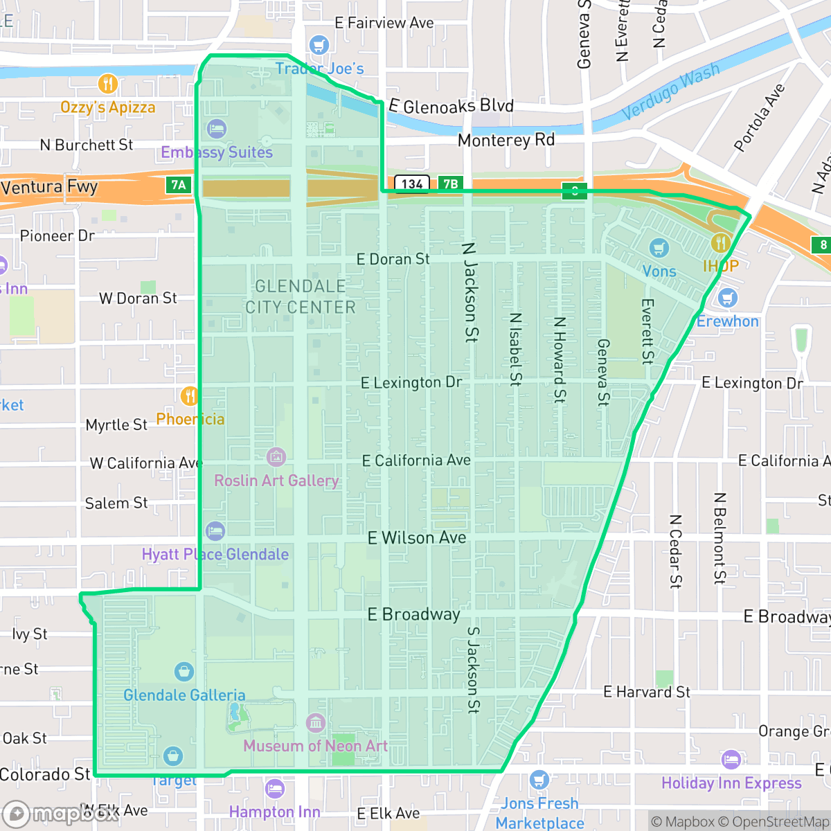
City Center, Glendale
Updated June 22, 2026 · 14,967 residents
City Center serves as the vibrant, high-density commercial core of Glendale, offering exceptional walkability and immediate access to major retail and dining destinations. While the area provides a lively urban experience, residents should expect limited privacy due to dense housing and moderate noise levels from nearby road traffic.
Key Highlights
About City Center
The City Center neighborhood of Glendale, California, serves as the city’s historic and civic heart. Its development accelerated after 1904 when Leslie C. Brand helped bring the Pacific Electric Railway to the area, shifting the town's commercial focus to Brand Boulevard. The neighborhood's architectural legacy is anchored by the historic Civic Center campus, which includes the Art Deco and Beaux-Arts style Glendale City Hall (constructed 1940–1942 as a WPA project) and the 1960s Modernist Municipal Services Building. Other notable landmarks include the Queen Anne-style Goode House (1892) and the historic Alex Theatre (1925), famous for its Egyptian and Art Deco marquee tower. In the late 20th and early 21st centuries, urban redevelopment projects transformed the area from a low-rise corridor into a dense commercial hub, now defined by major pedestrian-friendly destinations like The Americana at Brand.
This neighborhood functions as a high-energy, metropolitan hub defined by its proximity to major retail destinations like The Americana at Brand and the bustling commercial corridor of Brand Boulevard. The district features a dense mix of mid-rise residential complexes and professional office spaces, creating a fast-paced atmosphere that ranks among the most active in the region. With a perfect walkability score, the area is designed for those who prefer to navigate their daily errands and social life on foot, prioritizing convenience and connectivity over quiet, suburban seclusion.
Prospective residents should note that the neighborhood prioritizes urban density, resulting in minimal private outdoor space and limited green areas for pets. The acoustic environment is characterized by consistent road traffic noise, and the architectural landscape is largely dominated by concrete and high-density structures. This location is best suited for professionals or individuals who thrive in a busy, metropolitan setting and value proximity to local amenities over the privacy and fire safety margins typically found in less developed residential zones.
Neighborhood Scores Across 15 Qualities
Buildings and homes are situated in very close proximity with minimal separation between structures. According to iHuus data, this density results in significantly less privacy than is typical for the rest of Glendale.
A dense, consistent grid of sidewalks and frequent crosswalks makes navigating this area on foot very easy. According to iHuus data, the pedestrian infrastructure here is significantly more developed than the Glendale average.
Residential views consist primarily of apartment blocks and modest single-family homes with minimal yard space. This area offers less visual variety and greenery than the Glendale average.
Limited public parks and narrow sidewalks make outdoor exercise difficult for pets. This area offers significantly less accessible green space than the rest of Glendale.
Streetscapes consist of an even mix of residential greenery and developed infrastructure. This balance of open space and built density is more suburban than the more densely urbanized Glendale average, according to iHuus data.
Dense development and a diverse array of dining, cafes, and retail destinations provide a much more active atmosphere than the Glendale average. This district offers a concentrated mix of high-rise urban centers and lively social spots alongside quieter, green suburban pockets.
Frequent noise from nearby freeways and railroad tracks makes this a loud environment. This level of acoustic disturbance is slightly higher than the average seen across Glendale, according to iHuus data.
Air quality remains consistently high with rare instances of elevated readings. This level of air cleanliness is on par with the rest of Glendale.
Industrial activity and large warehouses are virtually absent from this area, making it slightly cleaner of heavy industry than the Glendale average. While the neighborhood is primarily residential and commercial, some proximity to a Superfund site may affect groundwater quality according to iHuus data.
Health insurance enrollment among residents is high and remains consistent with the average found across Glendale. Data from iHuus indicates a stable level of access to healthcare coverage within the area.
Voting patterns and census indicators show a predominantly liberal leaning that is slightly more pronounced than the Glendale average, according to iHuus data.
Residents experience a balanced demographic mix of young professionals, families, and seniors. According to iHuus data, the age distribution in this area aligns closely with the average seen across Glendale.
Elevated flood risks in this area significantly exceed the Glendale average, which may lead to higher or more complex insurance requirements. According to iHuus data, residents should prepare for potential water-related hazards during extreme weather events.
Block-Level Insights for City Center

iHuus Neighborhood Intelligence Insights
Get block-level neighborhood insights for City Center
- Street-level scores — see how individual blocks compare, not just neighborhood averages
- Micro-zone boundaries — identify quiet pockets, flood boundaries, and walkable clusters before you visit
- 15 dimensions in full — walkability, noise, air quality, school quality, insurance coverage, population age profile, urban/rural index, and more
- Boundary risk alerts — know if your address sits near a block boundary where scores drop, the kind of detail no listing will ever mention
- School insights — individual school ratings and insights, not just district-level data
- Compare before you commit — side-by-side data across neighborhoods, down to block precision
No credit card required
Compare with Any Neighborhood
| Dimension | City Center | Adams Hill |
|---|---|---|
| 🚶 Walkabilityavg 8.69 | ||
| 🔊 Acoustic Comfortavg 3.71 | ||
| 🤫 Privacy Indexavg 4.65 | ||
| 🎨 Visual Appealavg 6.99 | ||
| 🐕 Dog Friendlinessavg 5.3 | ||
| 🗺️ Urban-Rural Indexavg 6.32 | ||
| ✨ Neighborhood Vibeavg 5.1 | ||
| 🏥 Health Insurance Coverageavg 7.89 | ||
| 🌿 Air Qualityavg 8.01 | ||
| 🏭 Industrial Proximityavg 8.92 | ||
| 🌊 Flood Safetyavg 2.96 | ||
| 🗳️ Ideological Leanavg 8.52 | ||
| 👥 Population Age Profileavg 5.28 | ||
| 🔥 Fire Safetyavg 0.5 | ||
| 🏫 School Quality |
City Center Rankings
School Districts Serving City Center
Glendale Unified is a high-performing, stable district characterized by elite secondary schools and industry-leading specialized programs that drive strong college readiness. While it grapples with geographic disparities between the high-performing northern neighborhoods and lower-rated southern schools, its overall operational health remains solid with high graduation rates and a robust academic foundation. Despite navigating fiscal pressures from declining enrollment and aging facilities, GUSD's ability to retain families through unique language immersion and magnet offerings maintains its status as a premier Los Angeles-area educational provider.
Schools
School Insights for City Center
Below average outcomes; significant attendance and academic challenges.
School Insights
See what's really behind every school rating near City Center
- Individual school ratings — each school's own score with outcome context, not just a district average
- Enrollment & class size data — student-to-teacher ratio and how it compares to the state average
- Full demographics breakdown — ethnicity and gender composition for every school in the enrollment zone
- Every school in the district — all schools within the enrollment boundary ranked by rating, not just the closest one
- Grade levels & benchmarks — elementary through high school, with below/above state-average flags
No credit card required