Silver Strand, Channel Islands Beach
Updated June 22, 2026 · 582 residents
Silver Strand is a coastal enclave known for its exceptional walkability and immediate access to the Pacific shoreline. Residents enjoy a vibrant suburban atmosphere defined by a diverse mix of historic beach cottages and modern homes, though the area features limited privacy and close proximity to industrial zones.
Key Highlights
About Silver Strand
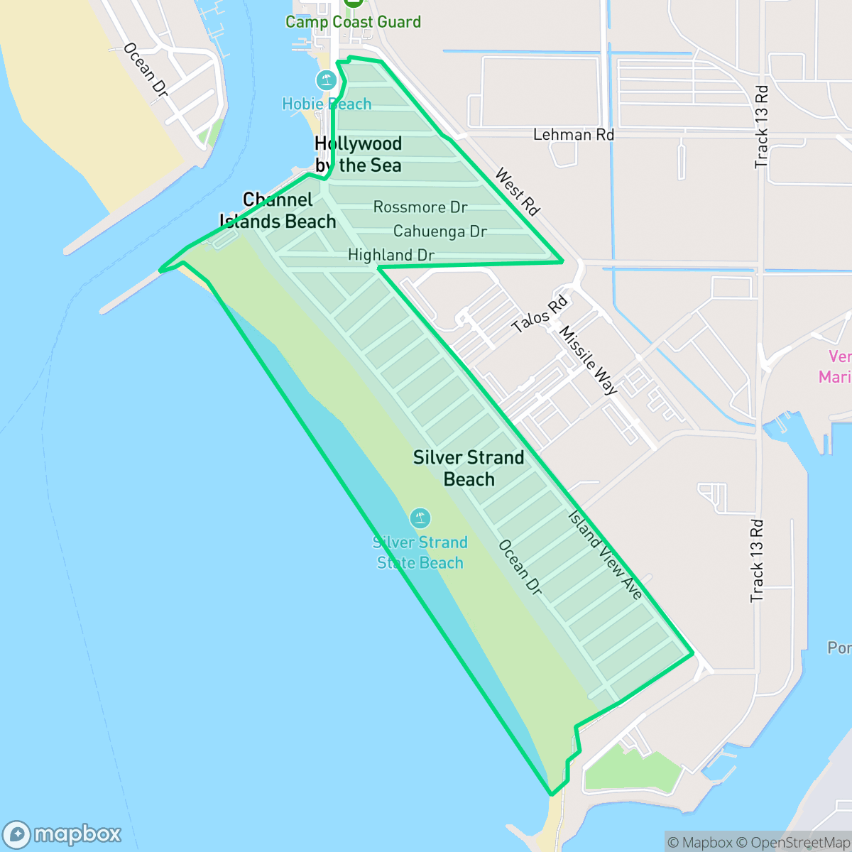
Established in 1925, the Silver Strand neighborhood in Channel Islands Beach, California, was named in honor of the "silver screen" after its scenic sand dunes served as backdrops for silent films like Cleopatra (1917). Hemmed in by the Channel Islands Harbor, the Port of Hueneme, and Naval Base Ventura County, the neighborhood is uniquely isolated, accessible by only one main road. Its architectural landscape blends original 1920s beach cottages, Spanish-style homes, and post-WWII residences. Locally, the area is historically significant as the birthplace of "Nardcore," a 1980s Southern California hardcore punk movement that produced bands like Dr. Know and Ill Repute. It is also famous for the 1970 shipwreck of the luxury ocean liner La Jenelle, which capsized just off the coast.
The neighborhood functions as a dense, pedestrian-oriented coastal community where residents can easily access the beach and local green spaces on foot. The architectural landscape remains diverse, featuring a blend of original 1920s structures and later post-WWII developments that contribute to its distinct visual appeal. Despite its geographic isolation, the area maintains a moderate level of activity and a strong sense of place, supported by its history as a quiet retreat for those seeking direct access to the ocean.
Living in this area involves specific trade-offs, particularly regarding environmental and infrastructure factors. While the neighborhood benefits from high flood safety, it faces significant risks related to fire safety and industrial proximity. Residents should also note that the area experiences consistent noise from road traffic and limited privacy due to the density of the housing. It is best suited for individuals who prioritize walkability and coastal access over comprehensive local services or high-tier educational institutions, as the surrounding school districts currently face significant academic challenges.
Neighborhood Scores Across 15 Qualities
Residential lots feature close proximity between dwellings, with separation between detached homes often measuring less than ten feet. According to iHuus data, this level of density is slightly higher than the average for the surrounding city.
Pedestrian movement is supported by sidewalks on one side of the street and safe crossings. This level of accessibility is slightly below the city average.
Large homes and frequent upscale amenities define the area, though the overall visual aesthetic sits slightly below the city average. According to iHuus data, the landscape features spacious driveways and well-maintained properties.
Access to dedicated public parks and wide green verges is less frequent here than in the rest of the city. According to iHuus data, pet owners may find fewer immediate opportunities for off-leash exercise compared to neighboring areas.
Residential grids sit adjacent to large scale maritime and port infrastructure, creating a landscape that matches the city average for semi-rural development. This mix of dense coastal housing and industrial facilities is characteristic of the area according to iHuus data.
Low commercial density and a focus on industrial and warehouse use create a subdued atmosphere that is notably less vibrant than the city average. Residents will find a tranquil environment, though most daily needs require a vehicle due to the limited availability of walkable retail.
A steady hum from nearby busy streets provides more ambient sound than the city average. According to iHuus data, acoustic comfort is moderate due to consistent local traffic patterns.
Air quality remains mostly clean with infrequent periods of elevated readings. According to iHuus data, the air quality in this area is slightly lower than the average found throughout the city.
Large-scale logistics warehouses and maritime port operations bring significant truck activity and noise to certain areas. This level of industrial proximity is notably higher than the city average for Ventura County.
Health insurance enrollment among residents is notably higher than the city average, according to iHuus data. This indicates a robust level of access to medical services within the community.
Political views in this area are evenly divided, mirroring the broader city average. According to iHuus data, there is no significant lean toward either conservative or liberal ideologies.
Residents are predominantly young adults, representing a much younger demographic than the typical population found elsewhere in the city. According to iHuus data, the area has a minimal presence of older adults or established families.
Frequent flooding is a significant concern in this area as it sits within a designated floodplain; according to iHuus data, this risk level is notably higher than the average for the city.
Block-Level Insights for Silver Strand

iHuus Neighborhood Intelligence Insights
Get block-level neighborhood insights for Silver Strand
- Street-level scores — see how individual blocks compare, not just neighborhood averages
- Micro-zone boundaries — identify quiet pockets, flood boundaries, and walkable clusters before you visit
- 15 dimensions in full — walkability, noise, air quality, school quality, insurance coverage, population age profile, urban/rural index, and more
- Boundary risk alerts — know if your address sits near a block boundary where scores drop, the kind of detail no listing will ever mention
- School insights — individual school ratings and insights, not just district-level data
- Compare before you commit — side-by-side data across neighborhoods, down to block precision
No credit card required
Compare with Any Neighborhood
| Dimension | Silver Strand | Hollywood by the Sea |
|---|---|---|
| 🚶 Walkabilityavg 8.97 | ||
| 🔊 Acoustic Comfortavg 3.22 | ||
| 🤫 Privacy Indexavg 2.35 | ||
| 🎨 Visual Appealavg 7.29 | ||
| 🐕 Dog Friendlinessavg 7.06 | ||
| 🗺️ Urban-Rural Indexavg 6.55 | ||
| ✨ Neighborhood Vibeavg 5.37 | ||
| 🏥 Health Insurance Coverageavg 5.76 | ||
| 🌿 Air Qualityavg 8.65 | ||
| 🏭 Industrial Proximityavg 7.86 | ||
| 🌊 Flood Safetyavg 3.61 | ||
| 🗳️ Ideological Leanavg 6.16 | ||
| 👥 Population Age Profileavg 4.57 | ||
| 🔥 Fire Safety | ||
| 🏫 School Quality |
Silver Strand Rankings
School Districts Serving Silver Strand
Oxnard Union High School District is a stable but bifurcated organization, exhibiting a 'Mixed/Transition' profile due to the stark contrast between its high-performing specialized academies and its struggling traditional high schools. While the district maintains strong community trust through successful bond measures and facility modernizations, its academic core is pressured by critically low math proficiency and a projected enrollment decline. Strong Career Technical Education programs and high graduation rates provide a floor for the district's quality, but significant achievement gaps across geographic lines and aging infrastructure on specific campuses remain primary obstacles to overall excellence.
Schools
Hueneme Elementary School District is characterized as Distressed due to a deep and persistent academic divide where the majority of its campuses, including both junior high schools, reside in the lowest performance tier. While the district demonstrates strong operational health through successful facility modernizations, high community support for dual-immersion programs, and a proactive shift toward the Science of Reading, these efforts have yet to rectify systemic underperformance in core subjects like mathematics. Despite the visible commitment of its staff and successful bond execution, the concentration of schools rated 1 or 2 by state metrics represents a significant organizational risk and a lack of consistent educational quality across the district's feeder patterns.
Schools
School Insights for Silver Strand
Below average outcomes; significant attendance and academic challenges.
School Insights
See what's really behind every school rating near Silver Strand
- Individual school ratings — each school's own score with outcome context, not just a district average
- Enrollment & class size data — student-to-teacher ratio and how it compares to the state average
- Full demographics breakdown — ethnicity and gender composition for every school in the enrollment zone
- Every school in the district — all schools within the enrollment boundary ranked by rating, not just the closest one
- Grade levels & benchmarks — elementary through high school, with below/above state-average flags
No credit card required