Magnolia Park, Burbank
Updated · 5,977 residents
Magnolia Park is a highly walkable Burbank neighborhood defined by its dense, grid-based layout and well-maintained single-family homes. Residents enjoy easy access to local shops and cafes, though the area features limited public green space and tight property spacing that impacts overall privacy.
Key Highlights
About Magnolia Park
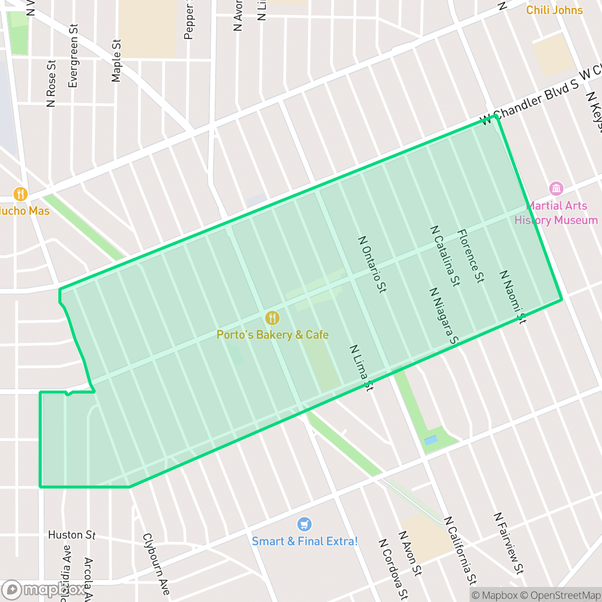
Established in 1923 by developer Earl L. White, Magnolia Park on Burbank's western edge began as a planned residential and commercial hub. When the city refused to fund a road connecting the subdivision to Hollywood, White built it himself, creating Hollywood Way. By 1929, the neighborhood boasted 3,500 homes, its own newspaper, and KELW, the San Fernando Valley's first commercial radio station. Following World War II, the area experienced a housing boom, filling with 1940s-era homes built for veterans. Today, Magnolia Park is defined by its Eisenhower-era storefronts along Magnolia Boulevard, known for its eclectic mix of vintage boutiques, retro shops, and the landmark Handy Market. The community is also anchored by the Chandler Bikeway, a popular pedestrian path converted from an old railroad right-of-way.
The neighborhood offers a classic suburban environment characterized by an exceptional walkability score, allowing residents to easily navigate its grid of sidewalks to reach local dining and commercial clusters. The area maintains a high visual appeal with manicured lawns and frequent private pools, contributing to a polished residential aesthetic. While it provides a calm, mid-rise urban atmosphere, the density of the housing stock results in close proximity between neighbors and limited private outdoor buffering.
Prospective residents should note that while the area boasts high air quality, it faces challenges regarding public green space and dog friendliness, as most vegetation is contained within private yards. According to iHuus data, the neighborhood experiences moderate noise levels primarily driven by road traffic, and while it benefits from proximity to quality local schools like Theodore Roosevelt Elementary, the district level administrative environment remains in a period of transition. It is best suited for those who prioritize pedestrian access to local amenities and a stable, established suburban community over expansive public parks or low density living.
Neighborhood Scores Across 15 Qualities
Residential properties feature a moderate density with some buffer between neighbors, offering slightly more privacy than the Burbank average. Most homes are detached single-family dwellings with modest side yards and some backyard separation.
Pedestrian transit is exceptionally easy due to a consistent grid of wide sidewalks and frequent crosswalks. This area offers a much higher level of walkability than the Burbank average, providing continuous pathways on both sides of most streets.
Well-maintained properties featuring manicured lawns and a high density of private backyard pools characterize this area. According to iHuus data, the visual landscape is notably more polished than the Burbank average.
Walking opportunities for pets are inconsistent due to narrow sidewalk verges and limited public green space in certain pockets. While some blocks feature wide grassy verges and accessible parks, much of the neighborhood greenery is contained within private yards, making the area slightly less dog friendly than the Burbank average according to iHuus data.
A mix of single-family homes and low-rise apartments is balanced by commercial corridors and street greenery. This suburban density is slightly lower than the Burbank average, providing a stable blend of residential and paved surfaces.
A mix of calm suburban streets and more active mid-rise blocks provides a steady rhythm of life. According to iHuus data, the area offers a balanced energy that is slightly more subdued than the Burbank average.
Steady traffic sounds from nearby thoroughfares are common in this area. According to iHuus data, acoustic levels are notably higher than the Burbank city average.
Air quality remains consistently good with rare instances of elevated readings. According to iHuus data, the atmosphere in this area is notably cleaner than the Burbank city average.
Light industrial and commercial units are interspersed with residential areas, making this area notably more industrial than the Burbank average. While many residential pockets appear clear of heavy industry, proximity to a nearby EPA Superfund site may present potential groundwater contamination concerns according to iHuus data.
Health insurance access is significantly higher than the Burbank average, indicating a well-covered population according to iHuus data.
Voting patterns and census indicators show a strong liberal leaning that is consistent with the broader Burbank area, according to iHuus data.
A balanced mix of young adults, families, and older residents characterizes the area, representing a slightly more even age distribution than the Burbank average according to iHuus data.
Located within a designated floodplain, this area carries a notable risk of flooding during major storm events. According to iHuus data, the risk level is consistent with the Burbank city average and may necessitate flood insurance for property owners.
Address-Level Insights for Magnolia Park


iHuus Neighborhood Intelligence Insights
Get address-level neighborhood insights for Magnolia Park
- Street-level scores — see how individual blocks compare, not just neighborhood averages
- Micro-zone boundaries — identify quiet pockets, flood boundaries, and walkable clusters before you visit
- 15 dimensions in full — walkability, noise, air quality, school quality, insurance coverage, population age profile, urban/rural index, and more
- Boundary risk alerts — know if your address sits near a block boundary where scores drop, the kind of detail no listing will ever mention
- School insights — individual school ratings and insights, not just district-level data
- Compare before you commit — side-by-side data across neighborhoods, down to block precision
No credit card required
Compare with Any Neighborhood
| Dimension | Magnolia Park | Burbank Center |
|---|---|---|
| 🚶 Walkabilityavg 8.7 | ||
| 🔊 Acoustic Comfortavg 0.94 | ||
| 🤫 Privacy Indexavg 4.91 | ||
| 🎨 Visual Appealavg 6 | ||
| 🐕 Dog Friendlinessavg 6.08 | ||
| 🗺️ Urban-Rural Indexavg 6.12 | ||
| ✨ Neighborhood Vibeavg 5.05 | ||
| 🏥 Health Insurance Coverageavg 6.28 | ||
| 🌿 Air Qualityavg 6 | ||
| 🏭 Industrial Proximityavg 8.15 | ||
| 🌊 Flood Safety | ||
| 🗳️ Ideological Leanavg 9.8 | ||
| 👥 Population Age Profileavg 4.59 | ||
| 🔥 Fire Safety | ||
| 🏫 School Quality |
Magnolia Park Rankings
School Districts Serving Magnolia Park
School Insights for Magnolia Park
Below average outcomes; significant attendance and academic challenges.
School Insights
See what's really behind every school rating near Magnolia Park
- Individual school ratings — each school's own score with outcome context, not just a district average
- Enrollment & class size data — student-to-teacher ratio and how it compares to the state average
- Full demographics breakdown — ethnicity and gender composition for every school in the enrollment zone
- Every school in the district — all schools within the enrollment boundary ranked by rating, not just the closest one
- Grade levels & benchmarks — elementary through high school, with below/above state-average flags
No credit card required