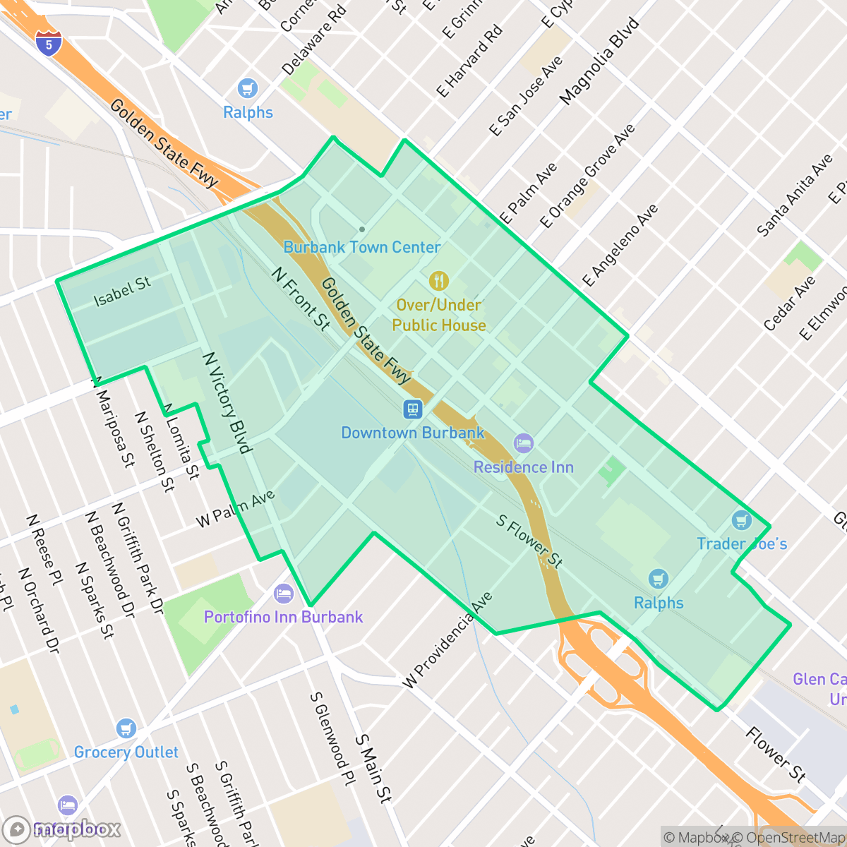
Burbank Center, Burbank
Updated June 22, 2026 · 10,130 residents
Burbank Center is a high-energy, urban neighborhood characterized by its dense grid of industrial warehouses, commercial blocks, and residential housing. While the area offers exceptional walkability and a vibrant local dining scene, residents should expect significant noise from road traffic and limited private outdoor space.
Key Highlights
About Burbank Center
Burbank Center serves as a dense, industrial-suburban hub marked by a mix of mid-rise residential buildings, large-scale warehouses, and active commercial corridors. The area is defined by its high-energy atmosphere, supported by a diverse array of local dining establishments and social venues that cater to a busy, urban-focused population. According to iHuus data, the neighborhood maintains a highly accessible grid, making it one of the more walkable sections of the city for those who prioritize proximity to daily amenities over quiet, expansive living. Living in this area requires navigating a trade-off between urban convenience and environmental factors. The landscape is dominated by concrete and paved surfaces, resulting in limited green space for pets and a lower degree of acoustic comfort due to consistent road traffic noise. While the proximity to major transit infrastructure and commercial services is a benefit, the high-density layout means that private outdoor space is scarce. This neighborhood is best suited for individuals who prefer a fast-paced, central environment and are comfortable with the inherent noise and density of an active industrial-residential zone.
Neighborhood Scores Across 15 Qualities
Residential and commercial structures are closely packed with minimal setbacks, creating less separation between neighbors than the Burbank average. High density clusters and shared walls are common throughout the area according to iHuus data.
Pedestrian infrastructure is exceptionally well-developed here, featuring a consistent grid of sidewalks and marked crosswalks that is superior to the Burbank average. Most areas within the neighborhood allow for easy movement on foot, though proximity to industrial zones and the highway may impact pedestrian comfort in certain sections.
Typical tract housing and commercial blocks define the area, featuring small yards and flat roofs that are consistent with the city average. According to iHuus data, the landscape consists primarily of mid-density apartments and standard single-family homes without significant luxury amenities.
Public green space is scarce and consists primarily of industrial lots or school athletic fields. According to iHuus data, the lack of accessible parks and narrow sidewalk verges makes this area significantly less dog friendly than the Burbank average.
A blend of residential streets and green space exists alongside industrial warehouses and large commercial blocks. This landscape feels less suburban than the Burbank average, featuring a notable presence of low-rise urban infrastructure and highway proximity according to iHuus data.
Diverse dining options and social hubs provide a more vibrant atmosphere than the Burbank average. While some blocks offer a calm suburban feel, other areas feature high-energy pockets of activity near major transit corridors.
Frequent noise from nearby flight paths and major transit corridors defines the area. According to iHuus data, acoustic comfort is significantly lower than the city average due to proximity to busy freeways and railroad tracks.
Air quality remains mostly clean with only rare instances of elevated readings, performing slightly better than the Burbank average according to iHuus data.
Large warehouses and heavy freight traffic near major freeway interchanges contribute to more industrial activity than the Burbank average. Residents may encounter significant noise and commercial loading operations alongside residential areas, according to iHuus data.
Health insurance enrollment among residents is notably higher than the Burbank average, according to iHuus data.
Voting patterns and census indicators show a predominantly liberal leaning, though this is slightly less pronounced than the Burbank city average.
Residents live alongside a varied demographic of young professionals, families, and seniors. According to iHuus data, this area features a more even distribution of age groups than the Burbank average.
Significant flood hazards and wave action are present in this area, which may lead to elevated or prohibitive insurance costs. This level of risk is consistent with the broader city average according to iHuus data.
Block-Level Insights for Burbank Center

iHuus Neighborhood Intelligence Insights
Get block-level neighborhood insights for Burbank Center
- Street-level scores — see how individual blocks compare, not just neighborhood averages
- Micro-zone boundaries — identify quiet pockets, flood boundaries, and walkable clusters before you visit
- 15 dimensions in full — walkability, noise, air quality, school quality, insurance coverage, population age profile, urban/rural index, and more
- Boundary risk alerts — know if your address sits near a block boundary where scores drop, the kind of detail no listing will ever mention
- School insights — individual school ratings and insights, not just district-level data
- Compare before you commit — side-by-side data across neighborhoods, down to block precision
No credit card required
Compare with Any Neighborhood
| Dimension | Burbank Center | Magnolia Park |
|---|---|---|
| 🚶 Walkabilityavg 8.7 | ||
| 🔊 Acoustic Comfortavg 0.94 | ||
| 🤫 Privacy Indexavg 4.91 | ||
| 🎨 Visual Appealavg 6 | ||
| 🐕 Dog Friendlinessavg 6.08 | ||
| 🗺️ Urban-Rural Indexavg 6.12 | ||
| ✨ Neighborhood Vibeavg 5.05 | ||
| 🏥 Health Insurance Coverageavg 6.28 | ||
| 🌿 Air Qualityavg 6 | ||
| 🏭 Industrial Proximityavg 8.15 | ||
| 🌊 Flood Safety | ||
| 🗳️ Ideological Leanavg 9.8 | ||
| 👥 Population Age Profileavg 4.59 | ||
| 🔥 Fire Safety | ||
| 🏫 School Quality |
Burbank Center Rankings
School Districts Serving Burbank Center
Glendale Unified is a high-performing, stable district characterized by elite secondary schools and industry-leading specialized programs that drive strong college readiness. While it grapples with geographic disparities between the high-performing northern neighborhoods and lower-rated southern schools, its overall operational health remains solid with high graduation rates and a robust academic foundation. Despite navigating fiscal pressures from declining enrollment and aging facilities, GUSD's ability to retain families through unique language immersion and magnet offerings maintains its status as a premier Los Angeles-area educational provider.
Schools
Burbank Unified is currently in a state of 'Mixed/Transition' health. Academically, the district remains a top performer in California with elite graduation rates, prestigious awards for John Muir Middle, and nationally acclaimed arts programs at its terminal high schools. However, these successes are contrasted by a 2026 'Lack of Going Concern' fiscal designation from the county, triggered by leadership turnover and administrative investigations. While the district maintains strong community trust and high inter-district demand, the combination of administrative instability and significant performance disparities in its alternative education and middle school sectors prevents it from achieving a 'Solid' or 'Blue Chip' rating at this time.
Schools
School Insights for Burbank Center
Below average outcomes; significant attendance and academic challenges.
School Insights
See what's really behind every school rating near Burbank Center
- Individual school ratings — each school's own score with outcome context, not just a district average
- Enrollment & class size data — student-to-teacher ratio and how it compares to the state average
- Full demographics breakdown — ethnicity and gender composition for every school in the enrollment zone
- Every school in the district — all schools within the enrollment boundary ranked by rating, not just the closest one
- Grade levels & benchmarks — elementary through high school, with below/above state-average flags
No credit card required