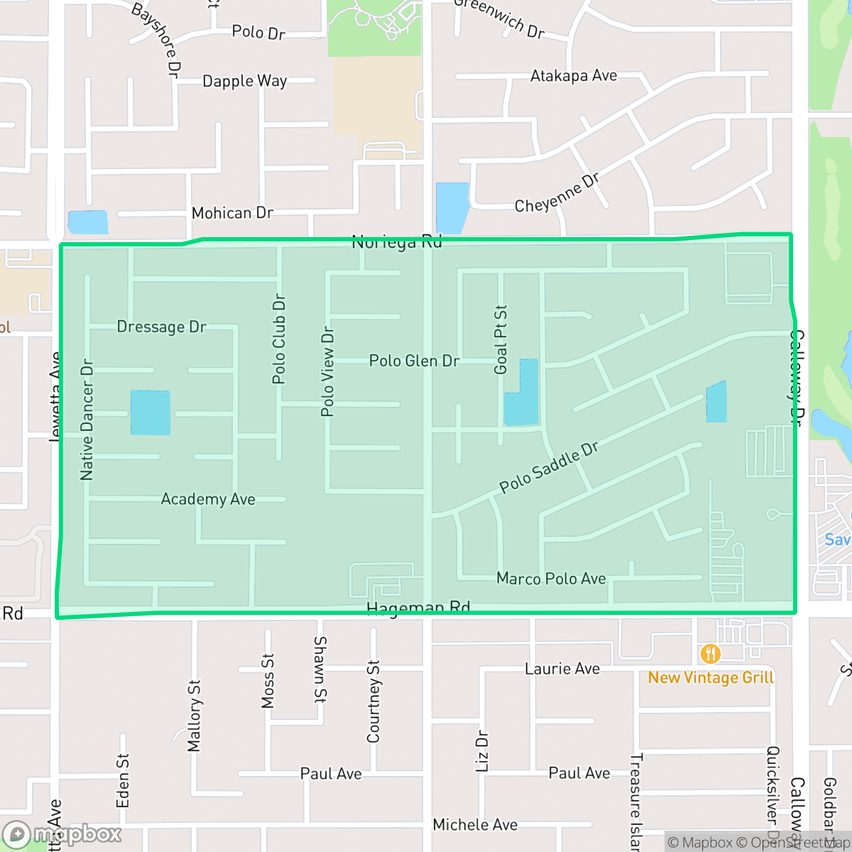
Westlakes, Bakersfield
Updated June 22, 2026 · 3,103 residents
Westlakes is a quiet, affluent residential neighborhood in Bakersfield characterized by large single-family homes and private backyard swimming pools. While the area offers a comprehensive sidewalk network for pedestrians, residents should be aware of elevated road noise levels and a lack of public park space.
Key Highlights
About Westlakes
Westlakes functions as a low-density suburban enclave in Northwest Bakersfield, defined by its well-maintained residential streets and proximity to local water features. The area is entirely residential and light commercial in nature, free from industrial hazards, and boasts high rates of health insurance coverage among its residents. Architectural character leans toward established, spacious homes with multi-car driveways, contributing to a visual appeal that stands out within the city.
Prospective residents will find a community that prioritizes residential privacy and safety, though it presents specific trade-offs regarding acoustic comfort and public green space. While the neighborhood is highly walkable due to its sidewalk infrastructure, local amenities are primarily concentrated in small commercial strips, requiring travel for most shopping and dining needs. The area is served by the Fruitvale and Rosedale Union elementary districts, making it a common choice for families, though the high risk of fire necessitates careful attention to local safety protocols.
Neighborhood Scores Across 15 Qualities
Residential spacing varies between closely set houses and standard suburban lots with more significant buffers. Overall privacy levels are slightly lower than the Bakersfield average due to instances of high density housing.
Comprehensive sidewalk networks on both sides of residential and arterial roads allow for safe, easy pedestrian movement. According to iHuus data, the connectivity and clearly marked crossings in Westlakes are notably superior to the Bakersfield average.
Manicured landscaping, large multi-car garages, and a high density of private backyard pools characterize this area. According to iHuus data, the visual environment is significantly more polished than the Bakersfield average.
Large sports parks and wide green verges provide excellent walking areas for pets, making this neighborhood more dog friendly than the Bakersfield average. While many residents benefit from substantial private yards, public greenery is primarily concentrated near specific park zones.
Residential layouts feature organized street grids and low-density single-family homes. This area is slightly less open than the Bakersfield average, consisting primarily of established suburban tracts and commercial plazas.
Suburban life here is characterized by a peaceful atmosphere near local water features, though social activity and dining options are somewhat limited compared to the Bakersfield average. While various dining establishments and parks are accessible, most businesses are not within easy walking distance for residents.
A persistent hum from nearby busy streets characterizes the area, which aligns with the typical acoustic levels found throughout Bakersfield.
Air quality remains mostly clean with infrequent instances of elevated readings. This level of air quality is slightly lower than the Bakersfield average, according to iHuus data.
Industrial activity and large warehouses are entirely absent from this area. According to iHuus data, Westlakes offers a cleaner environment than the Bakersfield average due to the lack of heavy machinery or industrial hazards.
Health insurance access is exceptionally high among residents, significantly outpacing the Bakersfield average according to iHuus data.
Voting patterns and census indicators show a much more conservative political leaning here than the Bakersfield average, according to iHuus data.
A balanced mix of young adults, families, and older residents characterizes the local community. This demographic distribution is largely consistent with the broader Bakersfield area, according to iHuus data.
Flood risk levels in Westlakes are higher than the Bakersfield average, though specific risk details remain undetermined due to incomplete federal studies. Residents should note that official FEMA flood maps for this area have not yet been finalized.
Block-Level Insights for Westlakes

iHuus Neighborhood Intelligence Insights
Get block-level neighborhood insights for Westlakes
- Street-level scores — see how individual blocks compare, not just neighborhood averages
- Micro-zone boundaries — identify quiet pockets, flood boundaries, and walkable clusters before you visit
- 15 dimensions in full — walkability, noise, air quality, school quality, insurance coverage, population age profile, urban/rural index, and more
- Boundary risk alerts — know if your address sits near a block boundary where scores drop, the kind of detail no listing will ever mention
- School insights — individual school ratings and insights, not just district-level data
- Compare before you commit — side-by-side data across neighborhoods, down to block precision
No credit card required
Compare with Any Neighborhood
| Dimension | Westlakes | Amberton |
|---|---|---|
| 🚶 Walkabilityavg 8.36 | ||
| 🔊 Acoustic Comfortavg 3.78 | ||
| 🤫 Privacy Indexavg 5.57 | ||
| 🎨 Visual Appealavg 6.61 | ||
| 🐕 Dog Friendlinessavg 6.03 | ||
| 🗺️ Urban-Rural Indexavg 6.87 | ||
| ✨ Neighborhood Vibeavg 4.25 | ||
| 🏥 Health Insurance Coverageavg 6.62 | ||
| 🌿 Air Qualityavg 8.49 | ||
| 🏭 Industrial Proximityavg 8.26 | ||
| 🌊 Flood Safetyavg 3.54 | ||
| 🗳️ Ideological Leanavg 5.07 | ||
| 👥 Population Age Profileavg 4.44 | ||
| 🔥 Fire Safetyavg 0.11 | ||
| 🏫 School Quality |
Westlakes Rankings
School Districts Serving Westlakes
Fruitvale Elementary School District is a high-performing and operationally stable organization, characterized by top-tier academic results that consistently exceed state averages. The district maintains strong community trust through successful fiscal management, evidenced by proactive security investments and the roll-out of modern STEAM initiatives. While minor variations in individual school performance exist and population growth poses potential capacity challenges, the district's high teacher retention and status as a primary draw for the Bakersfield real estate market solidify its standing as a premier educational provider.
Schools
Rosedale Union Elementary School District is a solid and stable pillar of the Northwest Bakersfield community, characterized by strong real estate demand and high academic proficiency in its elementary portfolio. While ground truth data indicates a notable performance gap at the middle school level, recent operational reports and community sentiment reflect a well-governed district with stable leadership, transparent financial planning, and a robust culture of student engagement. The district's proactive transition to by-district elections and its focus on specialized student services suggest a mature administrative structure capable of maintaining its reputation as a premier primary education provider in the region.
Schools
Kern High School District is a robust, operationally stable organization that functions as a 'Mixed' portfolio of high-performing flagship schools and underperforming rural campuses. While the district earns praise for its Career Technical Education (CTE), high graduation rates, and competitive athletics, it is hampered by a stark disparity in academic proficiency, with several schools reporting math and reading scores well below state averages. Despite these academic gaps, strong teacher retention strategies and successful specialized programs like the Academic Decathlon indicate a stable corporate foundation that manages a diverse and geographically vast student population effectively, though it lacks the uniform excellence required for a higher rating.
Schools
School Insights for Westlakes
Below average outcomes; significant attendance and academic challenges.
School Insights
See what's really behind every school rating near Westlakes
- Individual school ratings — each school's own score with outcome context, not just a district average
- Enrollment & class size data — student-to-teacher ratio and how it compares to the state average
- Full demographics breakdown — ethnicity and gender composition for every school in the enrollment zone
- Every school in the district — all schools within the enrollment boundary ranked by rating, not just the closest one
- Grade levels & benchmarks — elementary through high school, with below/above state-average flags
No credit card required