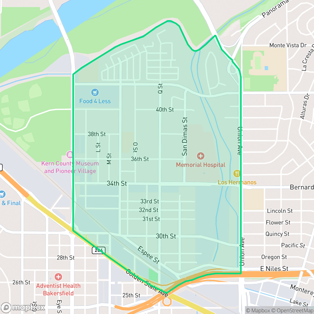
Homaker Park, Bakersfield
Updated June 22, 2026 · 6,547 residents
Homaker Park is a dense, suburban neighborhood in Bakersfield characterized by a mix of residential tracts, mobile home communities, and industrial logistics hubs. While the area offers access to nearby riverbed green spaces, residents experience significant noise from road traffic and high-density living conditions.
Key Highlights
About Homaker Park
Located within a diverse suburban and industrial landscape, this neighborhood features a high density of residential plots, including standard tract housing and mobile home communities. According to iHuus data, the area is defined by its proximity to logistics hubs and commercial warehouses, which contribute to a busy, car-dependent environment. Despite the industrial presence, the neighborhood maintains connections to natural areas, particularly along the nearby riverbed, which provides essential green space for the community.
Living here involves specific trade-offs, particularly regarding acoustic comfort, as road traffic noise levels are notably high. The housing stock is tightly packed, resulting in limited personal privacy for residents. While the area provides access to diverse local dining options and essential services, those considering the neighborhood should note the current school performance metrics and the environmental risks associated with flood and fire zones. It is a practical location for those prioritizing proximity to major transit corridors and industrial employment centers over quiet, low-density living.
Neighborhood Scores Across 15 Qualities
Residential spacing varies from tightly clustered apartment and mobile home complexes to houses with fenced yards. According to iHuus data, this level of privacy is slightly lower than the Bakersfield average.
Sidewalks are available along most residential streets and main intersections, though large parking lots can create gaps in the pedestrian network. This level of connectivity is slightly lower than the Bakersfield average.
Visual variety is somewhat limited due to a high density of standard tract housing and apartment complexes. According to iHuus data, the landscape is primarily composed of functional residential structures with modest yards, which sits below the Bakersfield average for visual appeal.
Access to walking trails and riverbed green space is available, though much of the neighborhood's greenery is contained within private yards. According to iHuus data, the area offers slightly more opportunities for pet owners than the Bakersfield average.
Frequent open land and scattered homes provide a more semi-rural atmosphere than the typical Bakersfield landscape. This mix of low-density residential areas and natural spaces offers a sense of openness slightly above the city average.
A blend of quiet residential streets and active commercial pockets offers more variety than the Bakersfield average. While diverse dining and local social hubs are present, much of the area remains car-dependent due to the proximity of industrial zones and highways.
Frequent noise from nearby railroad tracks and major freeway traffic is a characteristic of this area. According to iHuus data, acoustic comfort in Homaker Park is notably lower than the Bakersfield average.
Air quality is generally good with only rare instances of elevated readings. This level of air cleanliness is slightly lower than the average found throughout Bakersfield.
Occasional warehouses and logistics hubs with semi-truck activity are present, making the industrial presence slightly higher than the Bakersfield average. Most areas remain residential, though some sectors experience increased traffic from nearby storage yards and rail corridors.
Health insurance accessibility is lower in this area than the Bakersfield average, according to iHuus data.
Political leanings in this area are relatively split between conservative and liberal perspectives; this represents a more moderate ideological mix than the Bakersfield average according to iHuus data.
A balanced mix of young adults, families, and older residents characterizes the area. This demographic distribution is largely in line with the broader Bakersfield area, according to iHuus data.
Properties in this area are situated within a designated floodplain, which may necessitate flood insurance. This risk level is slightly higher than the Bakersfield average according to iHuus data.
Fire hazards in this area are significantly higher than the Bakersfield average, necessitating extreme precautions and maximum protection measures. According to iHuus data, this neighborhood faces an exceptionally severe risk level.
Block-Level Insights for Homaker Park

iHuus Neighborhood Intelligence Insights
Get block-level neighborhood insights for Homaker Park
- Street-level scores — see how individual blocks compare, not just neighborhood averages
- Micro-zone boundaries — identify quiet pockets, flood boundaries, and walkable clusters before you visit
- 15 dimensions in full — walkability, noise, air quality, school quality, insurance coverage, population age profile, urban/rural index, and more
- Boundary risk alerts — know if your address sits near a block boundary where scores drop, the kind of detail no listing will ever mention
- School insights — individual school ratings and insights, not just district-level data
- Compare before you commit — side-by-side data across neighborhoods, down to block precision
No credit card required
Compare with Any Neighborhood
| Dimension | Homaker Park | Amberton |
|---|---|---|
| 🚶 Walkabilityavg 8.36 | ||
| 🔊 Acoustic Comfortavg 3.78 | ||
| 🤫 Privacy Indexavg 5.57 | ||
| 🎨 Visual Appealavg 6.61 | ||
| 🐕 Dog Friendlinessavg 6.03 | ||
| 🗺️ Urban-Rural Indexavg 6.87 | ||
| ✨ Neighborhood Vibeavg 4.25 | ||
| 🏥 Health Insurance Coverageavg 6.62 | ||
| 🌿 Air Qualityavg 8.49 | ||
| 🏭 Industrial Proximityavg 8.26 | ||
| 🌊 Flood Safetyavg 3.54 | ||
| 🗳️ Ideological Leanavg 5.07 | ||
| 👥 Population Age Profileavg 4.44 | ||
| 🔥 Fire Safetyavg 0.11 | ||
| 🏫 School Quality |
Homaker Park Rankings
School Districts Serving Homaker Park
Kern High School District is a robust, operationally stable organization that functions as a 'Mixed' portfolio of high-performing flagship schools and underperforming rural campuses. While the district earns praise for its Career Technical Education (CTE), high graduation rates, and competitive athletics, it is hampered by a stark disparity in academic proficiency, with several schools reporting math and reading scores well below state averages. Despite these academic gaps, strong teacher retention strategies and successful specialized programs like the Academic Decathlon indicate a stable corporate foundation that manages a diverse and geographically vast student population effectively, though it lacks the uniform excellence required for a higher rating.
Schools
Bakersfield City School District is characterized as a 'Distressed' organization where strong operational efforts in facility modernization and labor relations are overshadowed by systemic academic underperformance and stability issues. While recent investments in literacy and campus security show a commitment to improvement, the ground truth data reveals that a vast majority of the district's schools are performing at the lowest state percentiles. Frequent teacher turnover and significant concerns regarding middle school discipline suggest a fractured operational environment that has yet to translate into consistent academic success across its diverse portfolio. The district remains a system in transition, struggling to reconcile its high-performing magnets with the persistent challenges facing its Title I campuses.
Schools
School Insights for Homaker Park
Below average outcomes; significant attendance and academic challenges.
School Insights
See what's really behind every school rating near Homaker Park
- Individual school ratings — each school's own score with outcome context, not just a district average
- Enrollment & class size data — student-to-teacher ratio and how it compares to the state average
- Full demographics breakdown — ethnicity and gender composition for every school in the enrollment zone
- Every school in the district — all schools within the enrollment boundary ranked by rating, not just the closest one
- Grade levels & benchmarks — elementary through high school, with below/above state-average flags
No credit card required