East Bakersfield, Bakersfield
Updated June 22, 2026 · 8,427 residents
East Bakersfield is defined by its industrial landscape and dense residential grid, where historic Craftsman homes sit alongside active rail infrastructure. While the area offers a unique cultural heritage, residents experience limited privacy due to narrow lot sizes and frequent noise from road traffic. According to iHuus data, it is a car-dependent neighborhood that balances a modest urban lifestyle with significant industrial proximity.
Key Highlights
About East Bakersfield
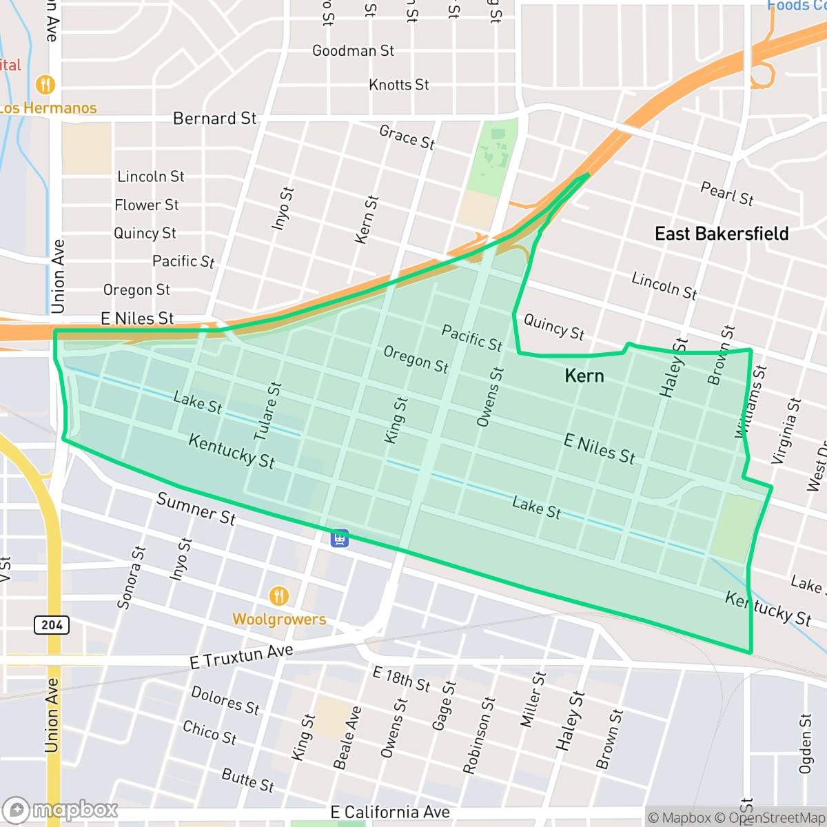
East Bakersfield originated in 1874 as the railroad town of Sumner, founded by the Southern Pacific Railroad after a land dispute with Bakersfield. Renamed Kern City in 1892, the town officially annexed into Bakersfield in 1910, marking the city's first major expansion. Centered around the intersection of Baker and Sumner streets—an area now known as Old Town Kern—the neighborhood developed as a bustling commercial hub that attracted Chinese, Italian, French, and Basque immigrants. Today, East Bakersfield is celebrated for its rich Basque heritage, particularly along the "Basque Block," which is home to historic local institutions like Wool Growers. The neighborhood's distinct historical character is preserved in its early 20th-century Craftsman bungalows, vernacular architecture, and landmarks like the historic Baker Street Library.
East Bakersfield serves as a central logistics and industrial hub, characterized by a dense, low-rise urban layout that integrates residential blocks with expansive rail yards and warehouse facilities. The area maintains a distinct identity through its historic architecture and long-standing culinary institutions that reflect its diverse immigrant roots. Residents benefit from high health insurance coverage rates, though the neighborhood faces ongoing challenges related to its industrial surroundings, including elevated noise levels from road traffic and limited access to public green space.
The neighborhood is best suited for those who prioritize proximity to industrial employment centers and historical cultural sites over modern suburban amenities. Prospective residents should be aware of the high density, which results in minimal backyard space and reduced privacy between homes. With a walkability score that is hindered by heavy rail infrastructure and industrial barriers, the area is largely car-dependent. Furthermore, the local housing stock and infrastructure require consideration of environmental factors, including the notably low flood and fire safety ratings identified in recent assessments.
Neighborhood Scores Across 15 Qualities
Residential spacing is tighter than the Bakersfield average, with many homes positioned closely together on narrow lots. This density results in minimal yard buffering and reduced visual separation between neighboring properties.
Sidewalks and marked crosswalks are present throughout much of the residential grid, though heavy rail lines and industrial traffic create notable pedestrian barriers. While many streets are accessible, the overall walkability is lower than the Bakersfield average due to these transit obstacles and a lack of shade on perimeter roads.
Residential landscapes consist primarily of simple tract housing and small lots with minimal greenery. According to iHuus data, the visible environment is less aesthetically varied than the Bakersfield average, often featuring unpaved driveways and minimal yard amenities.
Walking opportunities for dogs are constrained by a dense urban grid and large industrial rail yard barriers. While certain pockets offer access to a large public park, overall access to green verges is below the Bakersfield average, according to iHuus data.
Residential grids and industrial rail infrastructure create a landscape of varying density that is slightly more urban than the Bakersfield average. According to iHuus data, the area transitions between concentrated housing blocks and open industrial zones.
Steady rhythms of residential life and light industrial activity create a subdued atmosphere that is slightly less active than the Bakersfield average. While diverse dining and community spaces exist, many social amenities are concentrated near major highways and require a vehicle to access.
Frequent sounds from nearby railroad tracks and heavy freeway traffic create a loud environment. According to iHuus data, acoustic comfort in this area is significantly lower than the Bakersfield average.
Air quality in this area remains generally good with only rare instances of elevated readings. This level of air quality is slightly lower than the overall Bakersfield average, according to iHuus data.
Residential areas are interspersed with active warehouses, rail yards, and light commercial zones. This presence of logistics and utility infrastructure is notably higher than the Bakersfield average, which may result in increased truck traffic and noise.
Health insurance coverage among residents is consistent with the broader Bakersfield area. According to iHuus data, most inhabitants have access to medical coverage through established plans.
Voting patterns and census indicators in this area reflect a strong liberal leaning that is notably higher than the Bakersfield average, according to iHuus data.
A varied mix of young adults, families, and seniors resides here, representing a demographic spread that is slightly lower than the Bakersfield average. According to iHuus data, this distribution creates a multi-generational community profile.
Flood risk in this area is significantly higher than the Bakersfield average. Residents should expect elevated insurance costs and potential vulnerability to heavy precipitation events according to iHuus data.
Block-Level Insights for East Bakersfield

iHuus Neighborhood Intelligence Insights
Get block-level neighborhood insights for East Bakersfield
- Street-level scores — see how individual blocks compare, not just neighborhood averages
- Micro-zone boundaries — identify quiet pockets, flood boundaries, and walkable clusters before you visit
- 15 dimensions in full — walkability, noise, air quality, school quality, insurance coverage, population age profile, urban/rural index, and more
- Boundary risk alerts — know if your address sits near a block boundary where scores drop, the kind of detail no listing will ever mention
- School insights — individual school ratings and insights, not just district-level data
- Compare before you commit — side-by-side data across neighborhoods, down to block precision
No credit card required
Compare with Any Neighborhood
| Dimension | East Bakersfield | Amberton |
|---|---|---|
| 🚶 Walkabilityavg 8.36 | ||
| 🔊 Acoustic Comfortavg 3.78 | ||
| 🤫 Privacy Indexavg 5.57 | ||
| 🎨 Visual Appealavg 6.61 | ||
| 🐕 Dog Friendlinessavg 6.03 | ||
| 🗺️ Urban-Rural Indexavg 6.87 | ||
| ✨ Neighborhood Vibeavg 4.25 | ||
| 🏥 Health Insurance Coverageavg 6.62 | ||
| 🌿 Air Qualityavg 8.49 | ||
| 🏭 Industrial Proximityavg 8.26 | ||
| 🌊 Flood Safetyavg 3.54 | ||
| 🗳️ Ideological Leanavg 5.07 | ||
| 👥 Population Age Profileavg 4.44 | ||
| 🔥 Fire Safetyavg 0.11 | ||
| 🏫 School Quality |
East Bakersfield Rankings
School Districts Serving East Bakersfield
Kern High School District is a robust, operationally stable organization that functions as a 'Mixed' portfolio of high-performing flagship schools and underperforming rural campuses. While the district earns praise for its Career Technical Education (CTE), high graduation rates, and competitive athletics, it is hampered by a stark disparity in academic proficiency, with several schools reporting math and reading scores well below state averages. Despite these academic gaps, strong teacher retention strategies and successful specialized programs like the Academic Decathlon indicate a stable corporate foundation that manages a diverse and geographically vast student population effectively, though it lacks the uniform excellence required for a higher rating.
Schools
Bakersfield City School District is characterized as a 'Distressed' organization where strong operational efforts in facility modernization and labor relations are overshadowed by systemic academic underperformance and stability issues. While recent investments in literacy and campus security show a commitment to improvement, the ground truth data reveals that a vast majority of the district's schools are performing at the lowest state percentiles. Frequent teacher turnover and significant concerns regarding middle school discipline suggest a fractured operational environment that has yet to translate into consistent academic success across its diverse portfolio. The district remains a system in transition, struggling to reconcile its high-performing magnets with the persistent challenges facing its Title I campuses.
Schools
School Insights for East Bakersfield
Below average outcomes; significant attendance and academic challenges.
School Insights
See what's really behind every school rating near East Bakersfield
- Individual school ratings — each school's own score with outcome context, not just a district average
- Enrollment & class size data — student-to-teacher ratio and how it compares to the state average
- Full demographics breakdown — ethnicity and gender composition for every school in the enrollment zone
- Every school in the district — all schools within the enrollment boundary ranked by rating, not just the closest one
- Grade levels & benchmarks — elementary through high school, with below/above state-average flags
No credit card required