Casa Loma, Bakersfield
Updated June 22, 2026 · 4,786 residents
Casa Loma is a quiet, industrial-adjacent neighborhood in Bakersfield characterized by its collection of mid-century tract housing and mobile home communities. While the area offers a low-key suburban atmosphere, residents face challenges regarding limited walkability, frequent road noise, and a lack of pedestrian infrastructure.
Key Highlights
About Casa Loma
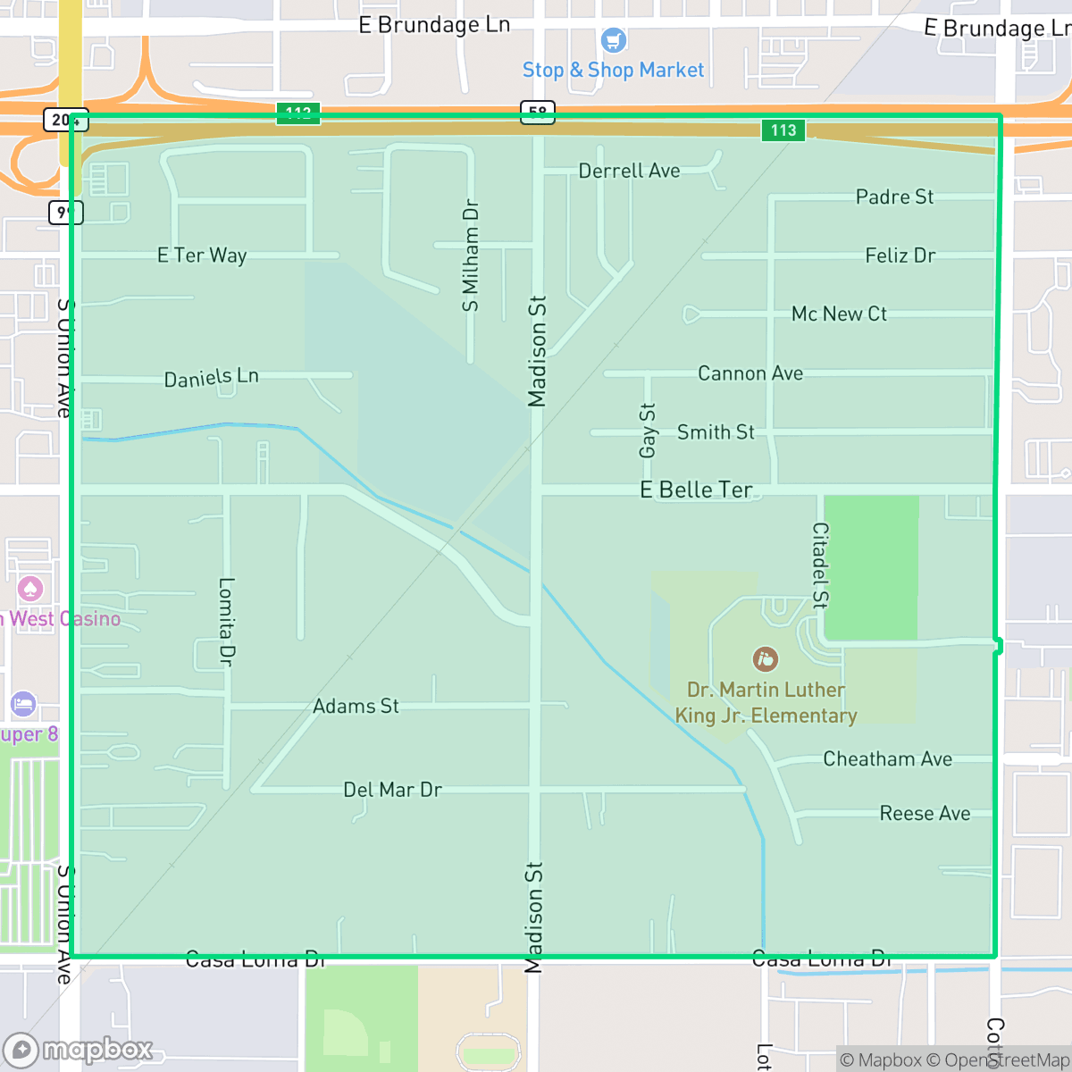
Casa Loma is an unincorporated community and census-designated place (CDP) in Kern County, California, surrounded on three sides by the city of Bakersfield. Developing as a residential enclave starting around 1928, the neighborhood features a mix of mid-century single-family homes and mobile homes primarily constructed between 1940 and 1969. A central fixture of the community is Casa Loma Elementary School, which opened its doors in 1949. Historically, the area's growth and land use were shaped by the Casa Loma Specific Plan in the late 1980s, which managed industrial and residential zoning transitions near Cottonwood Road and State Route 58.
The area functions as a dense, mixed-use enclave where residential streets frequently intersect with light industrial and logistics zones. The landscape is defined by its 1940s and 1950s architectural roots, resulting in a tightly packed grid of small lots. Daily life here is punctuated by the presence of major thoroughfares and nearby warehouses, which contribute to the neighborhood's industrial character and consistent background noise from traffic.
Prospective residents should consider the trade-offs of living in this sector, particularly regarding pedestrian access and environmental safety. Sidewalks are inconsistent or absent in many parts of the community, and the area faces notable risks concerning flood and fire safety. While it provides a functional, low-density environment for those working in surrounding industrial sectors, the neighborhood is best suited for individuals who prioritize proximity to major logistics hubs over high-end amenities or extensive neighborhood walkability.
Neighborhood Scores Across 15 Qualities
Residential spacing provides a moderate buffer between neighbors, offering slightly more separation than the typical Bakersfield neighborhood. While some areas feature closely packed houses, others maintain more open space between structures according to iHuus data.
Navigating the area on foot is challenging because sidewalks are inconsistent or missing in certain zones. While the quiet streets allow for some walking, the presence of a high-speed highway and industrial blocks makes the neighborhood significantly less walkable than the Bakersfield average.
Housing density is high with limited greenery or landscaped yards. This area features a more utilitarian aesthetic compared to the Bakersfield average, with many properties consisting of small lots and minimal yard vegetation.
Walking routes for dogs are constrained by narrow sidewalks and a lack of green verges, particularly near industrial zones and high-traffic roads. According to iHuus data, the availability of accessible parkland in this area is below the Bakersfield average.
Open land and scattered residential pockets characterize this area, which features a slightly more semi-rural feel than the Bakersfield average. Large industrial warehouses and agricultural spaces are integrated with dense residential grids according to iHuus data.
Limited commercial activity and a prevalence of industrial-suburban zones create a much more subdued atmosphere than the Bakersfield average. Residents will find few local amenities, as most services and dining options are scattered and primarily accessible by vehicle.
Frequent disturbances from nearby railroad tracks and heavy freeway traffic are common in this area. According to iHuus data, acoustic comfort in Casa Loma is significantly lower than the Bakersfield average.
Air quality in this area is generally good, though slightly lower than the Bakersfield average. Residents can expect mostly clean air with only infrequent periods of elevated readings.
Residential areas sit alongside active commercial and light industrial zones, resulting in more industrial proximity than the Bakersfield average. Some sectors of the neighborhood feature large warehouses and heavy equipment storage near multi-lane highways.
Health insurance access is notably lower in Casa Loma than in the rest of Bakersfield. According to iHuus data, a minority of the local population holds active health coverage.
Voting patterns and census indicators within Casa Loma reflect a significantly more liberal leaning than the Bakersfield average, according to iHuus data.
Residents live alongside a balanced spread of young adults, families, and older individuals. This demographic variety is slightly lower than the Bakersfield average, according to iHuus data.
Flood risk in this area is significantly higher than the Bakersfield average. Residents should prepare for potential insurance implications due to the elevated hazard levels identified in iHuus data.
Block-Level Insights for Casa Loma

iHuus Neighborhood Intelligence Insights
Get block-level neighborhood insights for Casa Loma
- Street-level scores — see how individual blocks compare, not just neighborhood averages
- Micro-zone boundaries — identify quiet pockets, flood boundaries, and walkable clusters before you visit
- 15 dimensions in full — walkability, noise, air quality, school quality, insurance coverage, population age profile, urban/rural index, and more
- Boundary risk alerts — know if your address sits near a block boundary where scores drop, the kind of detail no listing will ever mention
- School insights — individual school ratings and insights, not just district-level data
- Compare before you commit — side-by-side data across neighborhoods, down to block precision
No credit card required
Compare with Any Neighborhood
| Dimension | Casa Loma | Amberton |
|---|---|---|
| 🚶 Walkabilityavg 8.36 | ||
| 🔊 Acoustic Comfortavg 3.78 | ||
| 🤫 Privacy Indexavg 5.57 | ||
| 🎨 Visual Appealavg 6.61 | ||
| 🐕 Dog Friendlinessavg 6.03 | ||
| 🗺️ Urban-Rural Indexavg 6.87 | ||
| ✨ Neighborhood Vibeavg 4.25 | ||
| 🏥 Health Insurance Coverageavg 6.62 | ||
| 🌿 Air Qualityavg 8.49 | ||
| 🏭 Industrial Proximityavg 8.26 | ||
| 🌊 Flood Safetyavg 3.54 | ||
| 🗳️ Ideological Leanavg 5.07 | ||
| 👥 Population Age Profileavg 4.44 | ||
| 🔥 Fire Safetyavg 0.11 | ||
| 🏫 School Quality |
Casa Loma Rankings
School Districts Serving Casa Loma
Kern High School District is a robust, operationally stable organization that functions as a 'Mixed' portfolio of high-performing flagship schools and underperforming rural campuses. While the district earns praise for its Career Technical Education (CTE), high graduation rates, and competitive athletics, it is hampered by a stark disparity in academic proficiency, with several schools reporting math and reading scores well below state averages. Despite these academic gaps, strong teacher retention strategies and successful specialized programs like the Academic Decathlon indicate a stable corporate foundation that manages a diverse and geographically vast student population effectively, though it lacks the uniform excellence required for a higher rating.
Schools
Bakersfield City School District is characterized as a 'Distressed' organization where strong operational efforts in facility modernization and labor relations are overshadowed by systemic academic underperformance and stability issues. While recent investments in literacy and campus security show a commitment to improvement, the ground truth data reveals that a vast majority of the district's schools are performing at the lowest state percentiles. Frequent teacher turnover and significant concerns regarding middle school discipline suggest a fractured operational environment that has yet to translate into consistent academic success across its diverse portfolio. The district remains a system in transition, struggling to reconcile its high-performing magnets with the persistent challenges facing its Title I campuses.
Schools
School Insights for Casa Loma
Below average outcomes; significant attendance and academic challenges.
School Insights
See what's really behind every school rating near Casa Loma
- Individual school ratings — each school's own score with outcome context, not just a district average
- Enrollment & class size data — student-to-teacher ratio and how it compares to the state average
- Full demographics breakdown — ethnicity and gender composition for every school in the enrollment zone
- Every school in the district — all schools within the enrollment boundary ranked by rating, not just the closest one
- Grade levels & benchmarks — elementary through high school, with below/above state-average flags
No credit card required