Baker Street, Bakersfield
Updated June 22, 2026 · 2,582 residents
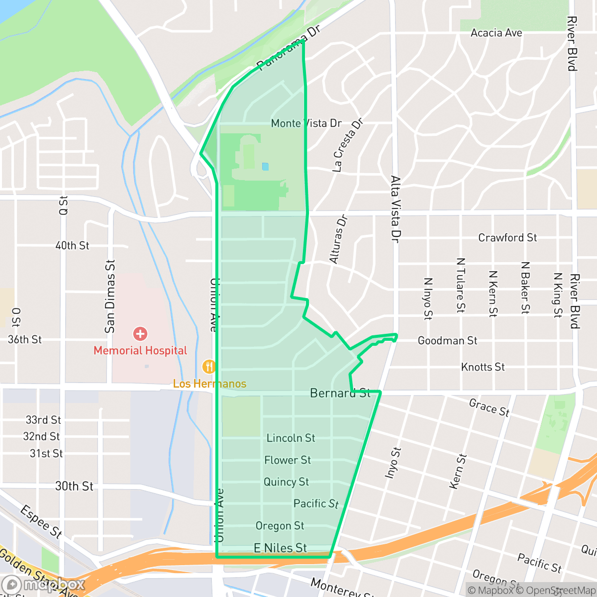
Baker Street is a historic corridor in East Bakersfield defined by its cultural legacy and active commercial presence. The neighborhood offers a lively atmosphere with diverse local dining options, though residents often contend with high levels of road traffic noise and specific environmental safety concerns.
Key Highlights
About Baker Street
The Baker Street neighborhood in East Bakersfield, historically known as Old Town Kern, originated in 1874 as the railroad town of Sumner (later Kern City) after the Southern Pacific Railroad bypassed Bakersfield. The neighborhood quickly developed into a bustling commercial hub shaped by Basque, Italian, French, and Chinese immigrants. Architecturally, the area is anchored by the 1915 Baker Street Library, an Italian Renaissance-Greek Revival landmark listed on the National Register of Historic Places. Other notable structures include the 1890s Queen Anne-style Noriega House and the 1947 Art Deco Tejon Theater. The neighborhood’s rich cultural identity is preserved through its historic "Basque Block" eateries and legacy businesses like Snider’s Cyclery, which has operated on Baker Street since 1942.
This area functions as a mixed-use environment where residential blocks sit alongside active commercial hubs. It features a unique blend of suburban-style streets and accessible local amenities, including established eateries and legacy bakeries that contribute to a distinct local identity. The neighborhood maintains a level of vibrancy that exceeds many other parts of the city, supported by a population that benefits from relatively high health insurance coverage.
Prospective residents should note that the area experiences significant noise from nearby road traffic, which is a primary factor in its acoustic profile. Additionally, the neighborhood faces challenges regarding flood and fire safety, and walkability is moderate compared to the broader city average. Families with children may find the local school options, such as Longfellow Elementary and the Bakersfield City School District, present significant academic hurdles. While the area offers convenience and historical character, it is best suited for those who prioritize proximity to local culture and commercial activity over quiet, secluded living.
Neighborhood Scores Across 15 Qualities
Varying levels of separation exist between properties, with some residential clusters featuring houses positioned closely together. According to iHuus data, the spacing between neighbors is slightly less private than the Bakersfield average.
Pedestrians can utilize a grid system with marked crosswalks, though large parking lots and the nearby highway create some barriers to movement. According to iHuus data, walkability in this area is slightly lower than the Bakersfield average.
Residential views range from large single-family homes with private pools and manicured lawns to more dense apartment complexes. According to iHuus data, the visual variety in this area is slightly above the Bakersfield average.
Walking opportunities for pets vary across the area. While some sections feature wide grassy verges and proximity to large public sports fields, other parts of the neighborhood have narrow verges and limited access to public parks, making it slightly less dog-friendly than the Bakersfield average.
Residential blocks and commercial zones blend with various low-density pockets, creating a landscape slightly less open than the Bakersfield average. According to iHuus data, the area features a mix of single-family homes and multi-story medical buildings rather than vast expanses of undeveloped land.
Local activity levels are higher than the Bakersfield average, offering a consistent blend of suburban residential life and accessible dining. While some pockets provide lively social hubs, many areas remain car-oriented with services primarily concentrated along major thoroughfares.
Frequent noise from nearby railroad tracks and heavy freeway traffic characterizes this area. According to iHuus data, acoustic comfort levels in this neighborhood are notably lower than the Bakersfield average.
Air quality in this area is generally good, though slightly lower than the Bakersfield average according to iHuus data.
Residential life here remains largely undisturbed by heavy industry, as the area contains only light commercial activity and medical complexes. This lack of industrial zoning is slightly better than the Bakersfield average, according to iHuus data.
Health insurance coverage among residents is slightly above the Bakersfield average, according to iHuus data.
Political perspectives are distributed relatively evenly across the area, showing a more balanced ideological split than the Bakersfield average according to iHuus data.
A balanced variety of young adults, families, and older residents characterizes this area. According to iHuus data, this demographic spread is slightly more diverse than the typical age profile found across Bakersfield.
Properties in this area are situated within a designated floodplain, which may necessitate the purchase of flood insurance. According to iHuus data, the risk level is slightly higher than the average for Bakersfield.
Fire hazards in this area are significantly more severe than the Bakersfield average. Residents should be aware of extreme fire risks that require maximum protection measures, according to iHuus data.
Block-Level Insights for Baker Street

iHuus Neighborhood Intelligence Insights
Get block-level neighborhood insights for Baker Street
- Street-level scores — see how individual blocks compare, not just neighborhood averages
- Micro-zone boundaries — identify quiet pockets, flood boundaries, and walkable clusters before you visit
- 15 dimensions in full — walkability, noise, air quality, school quality, insurance coverage, population age profile, urban/rural index, and more
- Boundary risk alerts — know if your address sits near a block boundary where scores drop, the kind of detail no listing will ever mention
- School insights — individual school ratings and insights, not just district-level data
- Compare before you commit — side-by-side data across neighborhoods, down to block precision
No credit card required
Compare with Any Neighborhood
| Dimension | Baker Street | Amberton |
|---|---|---|
| 🚶 Walkabilityavg 8.36 | ||
| 🔊 Acoustic Comfortavg 3.78 | ||
| 🤫 Privacy Indexavg 5.57 | ||
| 🎨 Visual Appealavg 6.61 | ||
| 🐕 Dog Friendlinessavg 6.03 | ||
| 🗺️ Urban-Rural Indexavg 6.87 | ||
| ✨ Neighborhood Vibeavg 4.25 | ||
| 🏥 Health Insurance Coverageavg 6.62 | ||
| 🌿 Air Qualityavg 8.49 | ||
| 🏭 Industrial Proximityavg 8.26 | ||
| 🌊 Flood Safetyavg 3.54 | ||
| 🗳️ Ideological Leanavg 5.07 | ||
| 👥 Population Age Profileavg 4.44 | ||
| 🔥 Fire Safetyavg 0.11 | ||
| 🏫 School Quality |
Baker Street Rankings
School Districts Serving Baker Street
Kern High School District is a robust, operationally stable organization that functions as a 'Mixed' portfolio of high-performing flagship schools and underperforming rural campuses. While the district earns praise for its Career Technical Education (CTE), high graduation rates, and competitive athletics, it is hampered by a stark disparity in academic proficiency, with several schools reporting math and reading scores well below state averages. Despite these academic gaps, strong teacher retention strategies and successful specialized programs like the Academic Decathlon indicate a stable corporate foundation that manages a diverse and geographically vast student population effectively, though it lacks the uniform excellence required for a higher rating.
Schools
Bakersfield City School District is characterized as a 'Distressed' organization where strong operational efforts in facility modernization and labor relations are overshadowed by systemic academic underperformance and stability issues. While recent investments in literacy and campus security show a commitment to improvement, the ground truth data reveals that a vast majority of the district's schools are performing at the lowest state percentiles. Frequent teacher turnover and significant concerns regarding middle school discipline suggest a fractured operational environment that has yet to translate into consistent academic success across its diverse portfolio. The district remains a system in transition, struggling to reconcile its high-performing magnets with the persistent challenges facing its Title I campuses.
Schools
School Insights for Baker Street
Below average outcomes; significant attendance and academic challenges.
School Insights
See what's really behind every school rating near Baker Street
- Individual school ratings — each school's own score with outcome context, not just a district average
- Enrollment & class size data — student-to-teacher ratio and how it compares to the state average
- Full demographics breakdown — ethnicity and gender composition for every school in the enrollment zone
- Every school in the district — all schools within the enrollment boundary ranked by rating, not just the closest one
- Grade levels & benchmarks — elementary through high school, with below/above state-average flags
No credit card required