East Shore, Albany
Updated June 22, 2026 · 464 residents
East Shore is a coastal community defined by its immediate access to the Bay Trail and unique waterfront recreation. While it offers a quiet suburban atmosphere, residents should be prepared for higher levels of ambient noise and potential flood risks associated with its low-lying position.
Key Highlights
About East Shore
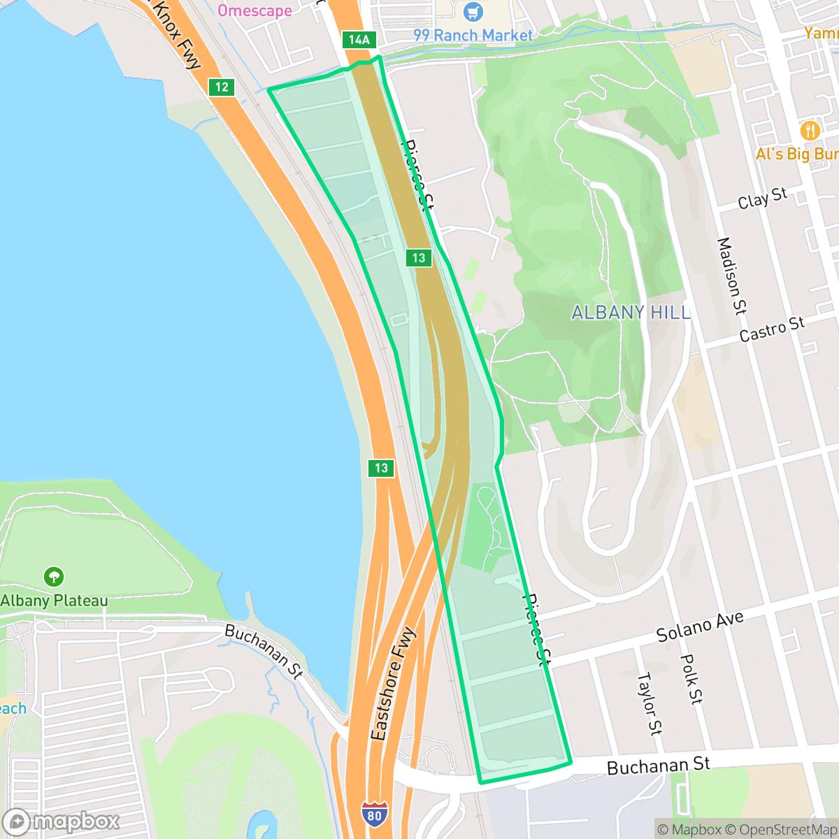
The East Shore neighborhood in Albany, California, is a coastal community defined by its immediate proximity to the San Francisco Bay and its evolution from an industrial waterfront to protected open space. Historically, the area was adjacent to the Albany Landfill, which operated from the late 1950s until 1979; this site was later transformed into the Albany Bulb, a unique landmark now celebrated for its eccentric sculptures and panoramic bay views. In 2002, these lands were incorporated into the Eastshore State Park, permanently preserving the shoreline for public recreation. The neighborhood’s housing stock features a mix of mid-century modern homes and cottages, reflecting the area's mid-20th-century development. Today, East Shore remains a distinct residential enclave known for its scenic waterfront access, connection to the Bay Trail, and its balance of quiet living with proximity to regional transit.
East Shore serves as a distinct residential enclave that blends suburban living with significant industrial and recreational zones. The area features a mix of mid-century modern homes and apartments, offering a standard suburban aesthetic that prioritizes proximity to the waterfront. While the neighborhood provides excellent opportunities for outdoor activity, particularly for dog owners who benefit from extensive trail systems, it remains somewhat car-dependent due to the presence of nearby logistics corridors and warehouse facilities.
Residents enjoy high air quality and strong community health insurance coverage, which contribute to a generally stable living environment. However, the area is characterized by persistent ambient noise from nearby highways and industrial activity. While the neighborhood offers a moderate level of privacy, those considering a move should note the designated floodplain status of the land. Families in this area are typically served by the highly-regarded Albany City Unified School District, though proximity to the West Contra Costa district boundary makes it important for prospective residents to verify specific school assignments according to iHuus data.
Neighborhood Scores Across 15 Qualities
Residential spacing offers a moderate level of separation, though some blocks feature high density with houses positioned very close together. According to iHuus data, this provides slightly more buffer between neighbors than the average area in Albany.
Sidewalks and paved park paths are available for pedestrians, though the area is less walkable than much of the rest of Albany. Most residential streets feature sidewalks on one side of the road and include safe crossings for residents.
Housing primarily consists of tract homes and mid-sized apartment complexes with modest yards and simple rooflines. This landscape is slightly less visually varied than the average for Albany, according to iHuus data.
Expansive forest parks and connected trail systems offer significant space for pets. According to iHuus data, the availability of wide, traffic-safe paths in this area is notably higher than the Albany average.
Residential pockets of single-family homes and apartment complexes transition into large-scale commercial and recreational areas. This balance of built environments is consistent with the typical landscape found throughout Albany.
A mix of industrial zones and residential streets creates a subdued atmosphere that is less active than the Albany city average. While local dining and coffee shops are available, the area remains largely car dependent due to the presence of warehouse corridors and highway proximity.
Persistent acoustic disturbances are significantly more frequent here than in the rest of Albany. According to iHuus data, residents can expect much higher levels of ambient noise compared to the city average.
Air quality remains consistently high with minimal health concerns, matching the average seen throughout Albany.
Light industrial and commercial zones are interspersed with residential areas, resulting in a higher presence of warehouses than the Albany average. Residents near the highway may experience increased noise from nearby logistics lots and heavy truck traffic.
Health insurance access is widespread among residents, with coverage rates appearing significantly higher than the Albany city average according to iHuus data.
Voting patterns and census indicators reflect a deeply liberal community, consistent with the broader trends seen across Albany.
Residents live alongside a balanced mix of young professionals, families, and older adults. This demographic distribution is consistent with the broader Albany area according to iHuus data.
Properties in this area are situated within a designated floodplain, which may necessitate flood insurance. According to iHuus data, the risk level here is slightly higher than the average for Albany.
Block-Level Insights for East Shore

iHuus Neighborhood Intelligence Insights
Get block-level neighborhood insights for East Shore
- Street-level scores — see how individual blocks compare, not just neighborhood averages
- Micro-zone boundaries — identify quiet pockets, flood boundaries, and walkable clusters before you visit
- 15 dimensions in full — walkability, noise, air quality, school quality, insurance coverage, population age profile, urban/rural index, and more
- Boundary risk alerts — know if your address sits near a block boundary where scores drop, the kind of detail no listing will ever mention
- School insights — individual school ratings and insights, not just district-level data
- Compare before you commit — side-by-side data across neighborhoods, down to block precision
No credit card required
Compare with Any Neighborhood
| Dimension | East Shore | Albany Terrace |
|---|---|---|
| 🚶 Walkabilityavg 9.53 | ||
| 🔊 Acoustic Comfortavg 3.69 | ||
| 🤫 Privacy Indexavg 4.06 | ||
| 🎨 Visual Appealavg 6.31 | ||
| 🐕 Dog Friendlinessavg 7.13 | ||
| 🗺️ Urban-Rural Indexavg 6.55 | ||
| ✨ Neighborhood Vibeavg 6.15 | ||
| 🏥 Health Insurance Coverageavg 8.83 | ||
| 🌿 Air Qualityavg 10 | ||
| 🏭 Industrial Proximityavg 8.16 | ||
| 🌊 Flood Safetyavg 3.37 | ||
| 🗳️ Ideological Leanavg 9.97 | ||
| 👥 Population Age Profileavg 4.96 | ||
| 🔥 Fire Safety | ||
| 🏫 School Quality |
East Shore Rankings
School Districts Serving East Shore
Albany City Unified School District is a premier educational system characterized by exceptional academic results, stable labor relations, and strong community support. With high schools and middle schools scoring 10/10 and elementary schools following closely, the district maintains a robust feeder system into its flagship high school. Although the district faces moderate financial headwinds related to deficit spending and lean reserves, its ability to pass local bonds and maintain a three-year teacher contract indicates high institutional stability. The district successfully balances its reputation for academic rigor with a growing focus on student mental health and inclusivity, cementing its status as a top-tier California district.
Schools
West Contra Costa Unified is currently a distressed district characterized by a severe academic divide and significant financial instability. While a few schools in affluent areas maintain 10/10 ratings and high community engagement, the district's overall portfolio is dominated by underperforming schools, with a substantial portion of elementary and middle schools scoring 1/10 or 2/10. Recent reports of a multi-million dollar structural deficit, teacher strikes, and safety incidents at secondary campuses highlight a system under intense pressure. Despite strong career technical education pathways and a commitment to diversity, the district’s struggle to maintain fiscal solvency and close persistent achievement gaps suggests a fragile operational environment.
Schools
School Insights for East Shore
Below average outcomes; significant attendance and academic challenges.
School Insights
See what's really behind every school rating near East Shore
- Individual school ratings — each school's own score with outcome context, not just a district average
- Enrollment & class size data — student-to-teacher ratio and how it compares to the state average
- Full demographics breakdown — ethnicity and gender composition for every school in the enrollment zone
- Every school in the district — all schools within the enrollment boundary ranked by rating, not just the closest one
- Grade levels & benchmarks — elementary through high school, with below/above state-average flags
No credit card required