Mesquite Neighborhood Intelligence Index
Updated June 22, 2026 · 4 neighborhoods measured
Known officially as the Rodeo Capital of Texas, Mesquite is a prominent eastern suburb of Dallas situated at the junction of four major interstate highways. The city offers a highly walkable environment across many of its neighborhoods, making it easy for residents to complete daily errands on foot. However, its position as a major regional transportation and industrial hub means that local air quality is a notable concern, and some areas face a heightened risk of flooding. Mesquite best suits commuters and families seeking a suburban lifestyle with easy highway access to Dallas, combined with a strong sense of local heritage.
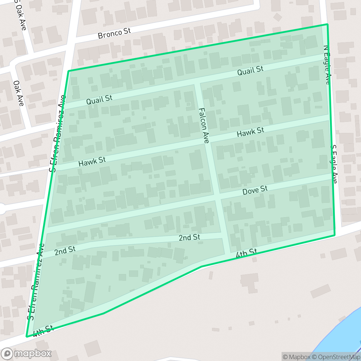
Explore Mesquite by Neighborhood
Mesquite Quality Scores
See how neighborhoods in Mesquite compare on dog friendliness. Rankings are based on measured data aggregated across each neighborhood boundary.
See how neighborhoods in Mesquite compare on urban-rural index. Rankings are based on measured data aggregated across each neighborhood boundary.
See how neighborhoods in Mesquite compare on liveliness and vibe. Rankings are based on measured data aggregated across each neighborhood boundary.
See how neighborhoods in Mesquite compare on acoustic comfort. Rankings are based on measured data aggregated across each neighborhood boundary.
See how neighborhoods in Mesquite compare on industrial proximity. Rankings are based on measured data aggregated across each neighborhood boundary.
See how neighborhoods in Mesquite compare on health insurance coverage. Rankings are based on measured data aggregated across each neighborhood boundary.
See how neighborhoods in Mesquite compare on ideological lean. Rankings are based on measured data aggregated across each neighborhood boundary.
See how neighborhoods in Mesquite compare on population age profile. Rankings are based on measured data aggregated across each neighborhood boundary.
See how neighborhoods in Mesquite compare on privacy index. Rankings are based on measured data aggregated across each neighborhood boundary.
See how neighborhoods in Mesquite compare on walkability. Rankings are based on measured data aggregated across each neighborhood boundary.
See how neighborhoods in Mesquite compare on visual appeal. Rankings are based on measured data aggregated across each neighborhood boundary.
Mesquite Neighborhood Rankings

iHuus Neighborhood Intelligence Insights
Get block-level neighborhood insights for Mesquite
- Street-level scores — see how individual blocks compare, not just neighborhood averages
- Micro-zone boundaries — identify quiet pockets, flood boundaries, and walkable clusters before you visit
- 15 dimensions in full — walkability, noise, air quality, school quality, insurance coverage, population age profile, urban/rural index, and more
- Boundary risk alerts — know if your address sits near a block boundary where scores drop, the kind of detail no listing will ever mention
- School insights — individual school ratings and insights, not just district-level data
- Compare before you commit — side-by-side data across neighborhoods, down to block precision
No credit card required