Jacinto City Neighborhood Intelligence Index
Updated June 22, 2026 · 2 neighborhoods measured
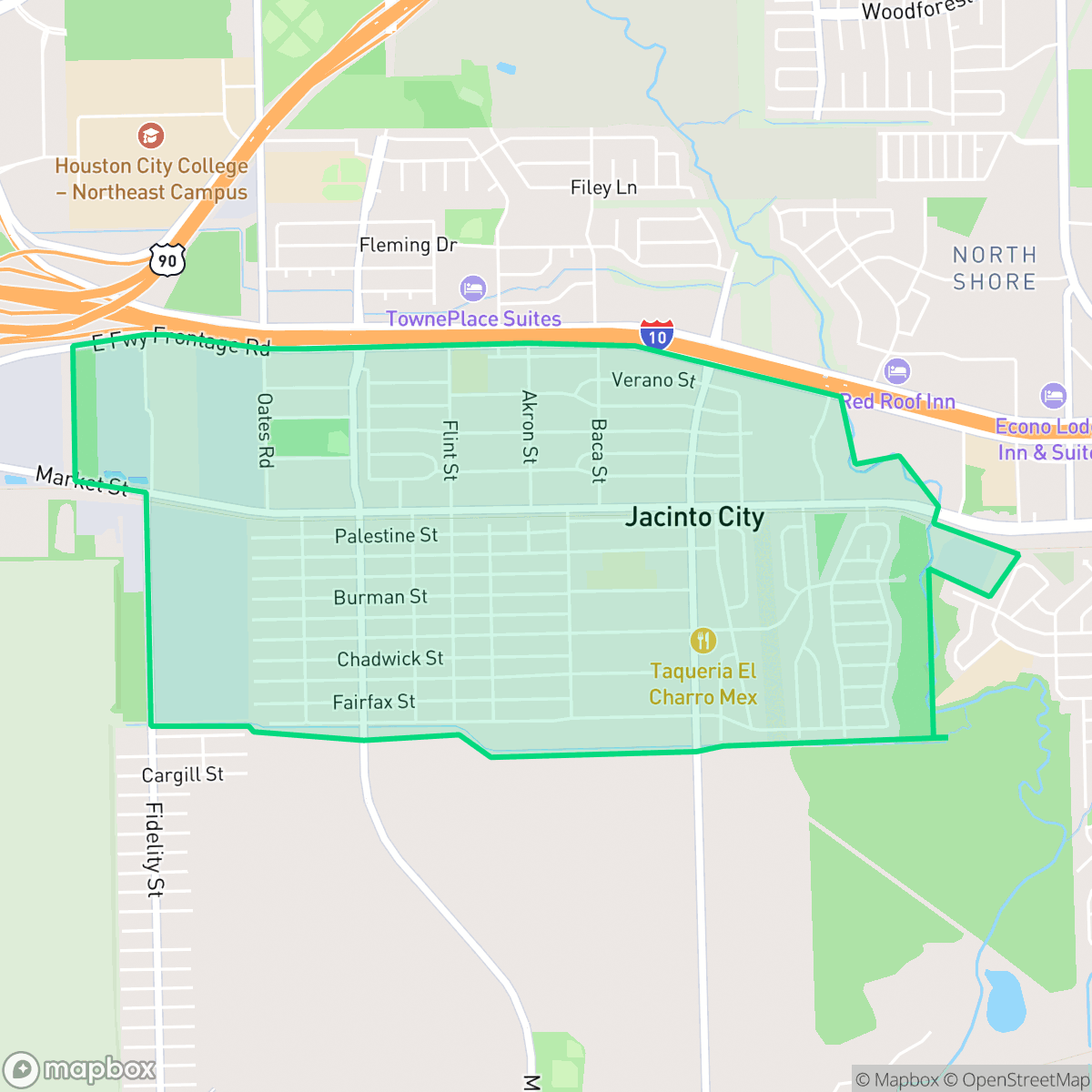
Located in Harris County just east of Houston, Jacinto City is a historic bedroom community originally established in 1941 for local shipyard and steel mill workers. Named after the nearby San Jacinto battleground, this small city retains its industrial roots. While residents benefit from excellent flood safety, the community faces challenges such as poor air quality and low rates of health insurance coverage. It is a tight-knit enclave that offers moderate privacy and walkability. Jacinto City suits budget-conscious industrial sector workers and families seeking a quiet, resilient suburb close to Houston's major employment hubs.
Explore Jacinto City by Neighborhood
Jacinto City Quality Scores
See how neighborhoods in Jacinto City compare on flood safety. Rankings are based on measured data aggregated across each neighborhood boundary.
See how neighborhoods in Jacinto City compare on ideological lean. Rankings are based on measured data aggregated across each neighborhood boundary.
See how neighborhoods in Jacinto City compare on industrial proximity. Rankings are based on measured data aggregated across each neighborhood boundary.
See how neighborhoods in Jacinto City compare on health insurance coverage. Rankings are based on measured data aggregated across each neighborhood boundary.
See how neighborhoods in Jacinto City compare on population age profile. Rankings are based on measured data aggregated across each neighborhood boundary.
See how neighborhoods in Jacinto City compare on liveliness and vibe. Rankings are based on measured data aggregated across each neighborhood boundary.
See how neighborhoods in Jacinto City compare on walkability. Rankings are based on measured data aggregated across each neighborhood boundary.
See how neighborhoods in Jacinto City compare on air quality. Rankings are based on measured data aggregated across each neighborhood boundary.
See how neighborhoods in Jacinto City compare on privacy index. Rankings are based on measured data aggregated across each neighborhood boundary.
See how neighborhoods in Jacinto City compare on visual appeal. Rankings are based on measured data aggregated across each neighborhood boundary.
See how neighborhoods in Jacinto City compare on dog friendliness. Rankings are based on measured data aggregated across each neighborhood boundary.
See how neighborhoods in Jacinto City compare on urban-rural index. Rankings are based on measured data aggregated across each neighborhood boundary.
See how neighborhoods in Jacinto City compare on acoustic comfort. Rankings are based on measured data aggregated across each neighborhood boundary.
Jacinto City Neighborhood Rankings

iHuus Neighborhood Intelligence Insights
Get block-level neighborhood insights for Jacinto City
- Street-level scores — see how individual blocks compare, not just neighborhood averages
- Micro-zone boundaries — identify quiet pockets, flood boundaries, and walkable clusters before you visit
- 15 dimensions in full — walkability, noise, air quality, school quality, insurance coverage, population age profile, urban/rural index, and more
- Boundary risk alerts — know if your address sits near a block boundary where scores drop, the kind of detail no listing will ever mention
- School insights — individual school ratings and insights, not just district-level data
- Compare before you commit — side-by-side data across neighborhoods, down to block precision
No credit card required