Brenham Downtown Historic District, Brenham
Updated June 22, 2026 · 152 residents
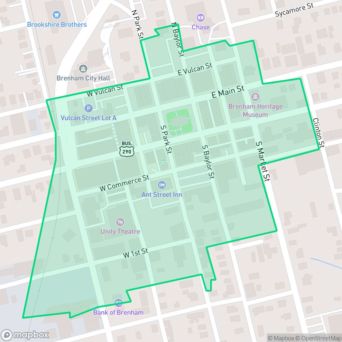
The Brenham Downtown Historic District serves as a compact commercial hub characterized by its preserved Italianate and Classical Revival architecture. While the area offers a walkable grid with local dining and coffee spots, residents should expect a car-dependent environment with proximity to industrial sites and rail activity.
Key Highlights
About Brenham Downtown Historic District
Established in 1844, the Brenham Downtown Historic District is a 38-acre commercial center recognized on the National Register of Historic Places. The district's architecture features Italianate, Classical Revival, and Renaissance Revival styles, with landmarks designed by notable architects like Alfred C. Finn and James Wetmore. Key historic properties include the 1939 Washington County Courthouse, the Classical Revival-style Brenham Heritage Museum (housed in a 1915 former post office), and the restored Simon Theatre. Following a devastating 1866 fire started by occupying Union troops and subsequent 1870s conflagrations, the district developed a unique network of 27 underground rainwater cisterns to combat fires. Today, this historic infrastructure is preserved and interpreted at Toubin Park.
The area functions as a central commercial node, blending historic aesthetics with modern social venues such as local coffee shops and diverse restaurants. The streetscape follows a dense grid pattern that supports moderate walkability, though the overall environment is heavily influenced by nearby industrial infrastructure, including warehouses and a wastewater treatment facility.
Prospective residents should note that the neighborhood experiences a mix of road and railroad noise, though it maintains relatively comfortable acoustic levels for a central district. While the area benefits from excellent health insurance coverage and reliable flood safety, it remains a car-dependent environment. Families considering the location should be aware of the Brenham Independent School District's current fiscal challenges and the impact of aging infrastructure on long-term educational facilities.
Neighborhood Scores Across 15 Qualities
Neighboring structures feature mixed spacing with some physical buffers between properties. This level of privacy is slightly lower than the Brenham city average according to iHuus data.
Sidewalks are available on one side of many streets with safe crossings provided for pedestrians. This area offers greater pedestrian accessibility than the Brenham city average according to iHuus data.
Standard residential architecture defines the area, featuring tidy yards and simple rooflines. This visual profile is slightly above the Brenham city average according to iHuus data.
Limited green verges and sidewalk space make walking pets less convenient than in other parts of the city. Public park access is available but not as pervasive as the Brenham average according to iHuus data.
A structured commercial grid and residential blocks define this area, providing a more developed feel than the more rural outskirts of Brenham. According to iHuus data, the landscape is characterized by a dense mix of low-density urban and suburban elements rather than open fields or woodland.
A variety of restaurants and coffee shops provide more activity than the city average. While the area contains lively social spots and dining options, most blocks remain car-dependent and feature a mix of light industrial and suburban elements.
Occasional distant traffic and infrequent train sounds characterize the area. This level of acoustic comfort is notably higher than the Brenham city average, according to iHuus data.
Residential areas blend with active commercial zones and nearby utility infrastructure. This proximity to warehouses and a wastewater treatment plant results in lower industrial density than the Brenham average.
Health insurance coverage levels in this district are high and remain largely consistent with the broader Brenham area, according to iHuus data.
Political leaning in this area is predominantly conservative, which is consistent with the broader Brenham area according to iHuus data.
Demographics show a more mature age distribution compared to the Brenham average. This area features a stable balance of long-term residents, families, and young adults according to iHuus data.
Residual flood risk exists within this area as it sits inside the 500-year floodplain; however, flood safety levels remain notably higher than the Brenham city average according to iHuus data.
Block-Level Insights for Brenham Downtown Historic District

iHuus Neighborhood Intelligence Insights
Get block-level neighborhood insights for Brenham Downtown Historic District
- Street-level scores — see how individual blocks compare, not just neighborhood averages
- Micro-zone boundaries — identify quiet pockets, flood boundaries, and walkable clusters before you visit
- 15 dimensions in full — walkability, noise, air quality, school quality, insurance coverage, population age profile, urban/rural index, and more
- Boundary risk alerts — know if your address sits near a block boundary where scores drop, the kind of detail no listing will ever mention
- School insights — individual school ratings and insights, not just district-level data
- Compare before you commit — side-by-side data across neighborhoods, down to block precision
No credit card required
Brenham Downtown Historic District Rankings
School Districts Serving Brenham Downtown Historic District
Brenham ISD functions as a stable but financially strained district, currently navigating a multi-million dollar budget deficit and leadership challenges typical of a 'Mixed' or 'Transition' status. While the district excels in Career and Technical Education (CTE) and maintains high-performing elementary schools, there is a noticeable academic decline in the middle school grades and significant pressure on aging infrastructure. Community trust is high regarding extracurriculars and security, but fiscal conservatism and stagnant state funding are forcing difficult operational trade-offs that may impact long-term teacher retention and facility modernization.
Schools
School Insights for Brenham Downtown Historic District
Below average outcomes; significant attendance and academic challenges.
School Insights
See what's really behind every school rating near Brenham Downtown Historic District
- Individual school ratings — each school's own score with outcome context, not just a district average
- Enrollment & class size data — student-to-teacher ratio and how it compares to the state average
- Full demographics breakdown — ethnicity and gender composition for every school in the enrollment zone
- Every school in the district — all schools within the enrollment boundary ranked by rating, not just the closest one
- Grade levels & benchmarks — elementary through high school, with below/above state-average flags
No credit card required