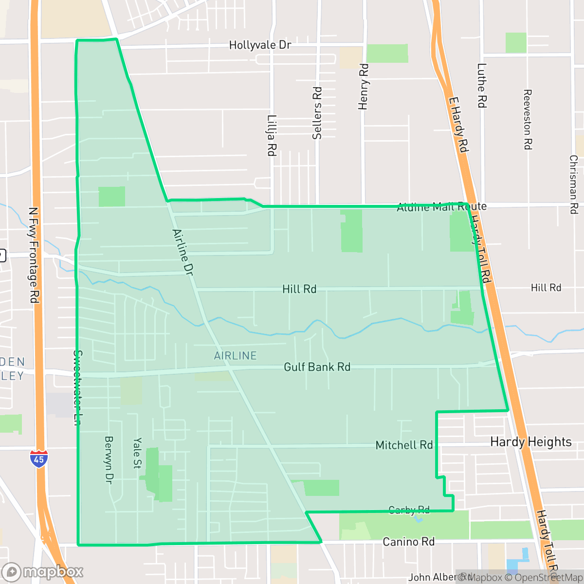
Airline, Aldine
Updated June 22, 2026 · 17,369 residents
Airline is a semi-rural enclave defined by its industrial roots and heavy reliance on Airline Drive for commercial access. The area is primarily car-dependent with limited pedestrian infrastructure and faces notable challenges regarding air quality and flood risk.
Key Highlights
About Airline
The Airline neighborhood in Harris County, Texas, traces its origins to a rural farming community that appeared on county postal maps as early as 1907. Its name derives from the "air line" road—a term for a direct, straight-line route—that predates modern aviation. Historically, the area functioned as a vital agricultural hub before experiencing significant residential and commercial growth following World War II. Airline Drive serves as the neighborhood’s primary commercial artery, long defined by its local farmers' markets and retail services. In 2005, the Texas Legislature established the Airline Improvement District to address infrastructure challenges and revitalize the area. Today, the community is recognized for its suburban character and its role as a key transit corridor in the North Houston region, reflecting decades of transformation from open farmland to a densely populated, diverse residential enclave.
The neighborhood features a semi-rural landscape where residential clusters sit alongside active logistics hubs and industrial yards. This creates a distinct atmosphere where the convenience of major transit corridors meets the quiet, car-dependent nature of a community transitioning from its agricultural past. Residents often rely on personal vehicles for daily errands, as the area lacks extensive pedestrian infrastructure and consistent sidewalk connectivity. According to iHuus data, the visual character remains modest, with uniform housing styles and limited green space throughout the residential zones.
Prospective residents should note that the area is situated within a designated floodplain, necessitating careful consideration of drainage and insurance requirements. While the community offers a balanced demographic mix, it faces significant environmental challenges, including poor air quality and noise from nearby industrial activity. Academic options are provided by the Aldine and Houston independent school districts, each presenting unique institutional environments for families to evaluate. Those considering a move to the area should weigh these infrastructure and environmental trade-offs against the availability of housing and the proximity to major transit routes.
Neighborhood Scores Across 15 Qualities
Residential spacing is comparable to the city average, featuring a mix of closely packed homes and larger lots with more buffer zones. According to iHuus data, some areas in the northern section have limited distance between structures, while southern lots offer more separation.
Walking is possible on quiet residential streets, but inconsistent sidewalks and drainage ditches make navigating much of the area difficult. This level of walkability is typical for the city average, as many blocks lack continuous pedestrian paths.
Residential aesthetics are primarily composed of small, uniform housing and gravel driveways with limited greenery. This level of visual variety is roughly consistent with the average found throughout the city.
Private fenced yards provide some area for pets, but narrow sidewalks and a lack of public parks make walking dogs in the neighborhood difficult. According to iHuus data, available green space for pets is slightly higher than the city average, though most greenery is confined to residential lots.
Open land and wooded lots are frequently interspersed with scattered residential clusters and industrial yards. This landscape is slightly more rural than the Aldine city average.
Daily activities are largely centered around driving between scattered industrial units, warehouses, and various dining establishments. While the area offers more active pockets of commerce than the city average, many sections remain quiet and require a vehicle for most errands.
Steady traffic noise from nearby busy streets is present, which is consistent with the city average. Residents can expect a level of acoustic activity typical for this urban area according to iHuus data.
Frequent unhealthy air quality levels pose significant risks to sensitive groups. This condition is roughly in line with the average found throughout the city, according to iHuus data.
Active logistics hubs, salvage yards, and heavy truck traffic are more prevalent here than in the surrounding city. Residents may experience increased noise and dust due to the proximity of large warehouses and commercial storage clusters.
Access to health insurance is notably low in this area, matching the broader city average. Residents may face challenges accessing employer-sponsored or private medical benefits according to iHuus data.
Political leanings in this area are split nearly evenly between conservative and liberal perspectives, sitting close to the city average according to iHuus data.
Residents live alongside a diverse mix of young adults, families, and older individuals. This age distribution is consistent with the average found throughout Aldine.
Located within a designated floodplain, this area carries a notable flood risk that is slightly higher than the Aldine average. Residents should prepare for potential drainage issues and likely requirements for flood insurance according to iHuus data.
Block-Level Insights for Airline

iHuus Neighborhood Intelligence Insights
Get block-level neighborhood insights for Airline
- Street-level scores — see how individual blocks compare, not just neighborhood averages
- Micro-zone boundaries — identify quiet pockets, flood boundaries, and walkable clusters before you visit
- 15 dimensions in full — walkability, noise, air quality, school quality, insurance coverage, population age profile, urban/rural index, and more
- Boundary risk alerts — know if your address sits near a block boundary where scores drop, the kind of detail no listing will ever mention
- School insights — individual school ratings and insights, not just district-level data
- Compare before you commit — side-by-side data across neighborhoods, down to block precision
No credit card required
Airline Rankings
School Districts Serving Airline
Aldine ISD is a district in transition, characterized by a high-performing portfolio of specialized choice schools and high schools contrasted with deep academic struggles in its traditional middle school feeders. While ground truth data shows several campuses at 2/10 and 4/10 proficiency levels, the district's operational health is stabilized by proactive teacher retention strategies, successful bond-funded modernization, and expanding dual-enrollment partnerships. Leadership is effectively leveraging 'Choice Schools' as a driver for excellence, though the gap between these elite programs and neighborhood schools remains the primary barrier to 'Blue Chip' status.
Schools
Houston ISD is a district in a state of extreme operational and political volatility, currently categorized by a state takeover and the loss of local community control. While the district maintains a collection of world-class magnet and high-performing schools that anchor its academic reputation, these are overshadowed by a 'Toxic' institutional environment characterized by a 33% teacher turnover rate, significant reliance on uncertified staff, and a steady 3.5% annual enrollment loss. Despite reports of rapid academic growth under the state-appointed leadership, the district's stability is undermined by intense community friction, school closures in underserved areas, and an organizational culture increasingly managed through high-stress compliance models, making it a high-risk entity for long-term consistency.
Schools
School Insights for Airline
Below average outcomes; significant attendance and academic challenges.
School Insights
See what's really behind every school rating near Airline
- Individual school ratings — each school's own score with outcome context, not just a district average
- Enrollment & class size data — student-to-teacher ratio and how it compares to the state average
- Full demographics breakdown — ethnicity and gender composition for every school in the enrollment zone
- Every school in the district — all schools within the enrollment boundary ranked by rating, not just the closest one
- Grade levels & benchmarks — elementary through high school, with below/above state-average flags
No credit card required