Kendall Neighborhood Intelligence Index
Updated June 22, 2026 · 1 neighborhoods measured
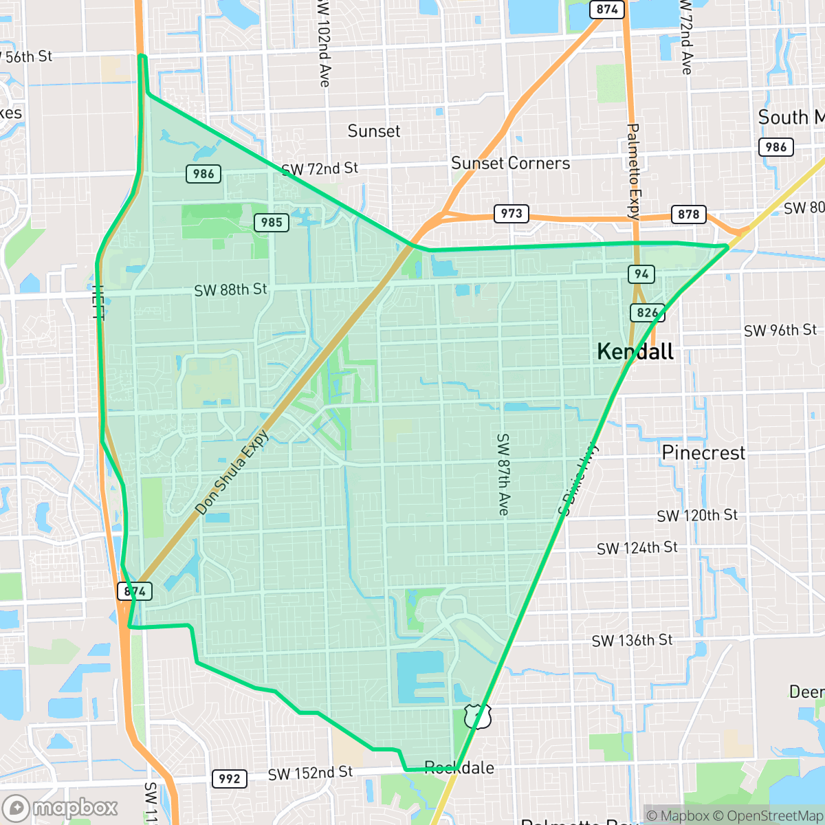
Kendall is a primarily suburban community in Miami-Dade County defined by its mix of quiet residential pockets and functional commercial corridors. The area features upscale visual appeal with manicured landscapes and spacious estates, complemented by a pedestrian-friendly environment that encourages local walking. While residents benefit from high levels of health insurance coverage and minimal heavy industrial activity, the city faces challenges with poor air quality and frequent noise disturbances from nearby transit infrastructure. Kendall is best suited for families and professionals who prioritize suburban convenience and established residential comfort over a high-energy urban lifestyle.
Explore Kendall by Neighborhood
Kendall Quality Scores
See how neighborhoods in Kendall compare on air quality. Rankings are based on measured data aggregated across each neighborhood boundary.
See how neighborhoods in Kendall compare on dog friendliness. Rankings are based on measured data aggregated across each neighborhood boundary.
See how neighborhoods in Kendall compare on flood safety. Rankings are based on measured data aggregated across each neighborhood boundary.
See how neighborhoods in Kendall compare on ideological lean. Rankings are based on measured data aggregated across each neighborhood boundary.
See how neighborhoods in Kendall compare on industrial proximity. Rankings are based on measured data aggregated across each neighborhood boundary.
See how neighborhoods in Kendall compare on health insurance coverage. Rankings are based on measured data aggregated across each neighborhood boundary.
See how neighborhoods in Kendall compare on population age profile. Rankings are based on measured data aggregated across each neighborhood boundary.
See how neighborhoods in Kendall compare on urban-rural index. Rankings are based on measured data aggregated across each neighborhood boundary.
See how neighborhoods in Kendall compare on liveliness and vibe. Rankings are based on measured data aggregated across each neighborhood boundary.
See how neighborhoods in Kendall compare on visual appeal. Rankings are based on measured data aggregated across each neighborhood boundary.
See how neighborhoods in Kendall compare on walkability. Rankings are based on measured data aggregated across each neighborhood boundary.
See how neighborhoods in Kendall compare on acoustic comfort. Rankings are based on measured data aggregated across each neighborhood boundary.
See how neighborhoods in Kendall compare on privacy index. Rankings are based on measured data aggregated across each neighborhood boundary.
Kendall Neighborhood Rankings

iHuus Neighborhood Intelligence Insights
Get block-level neighborhood insights for Kendall
- Street-level scores — see how individual blocks compare, not just neighborhood averages
- Micro-zone boundaries — identify quiet pockets, flood boundaries, and walkable clusters before you visit
- 15 dimensions in full — walkability, noise, air quality, school quality, insurance coverage, population age profile, urban/rural index, and more
- Boundary risk alerts — know if your address sits near a block boundary where scores drop, the kind of detail no listing will ever mention
- School insights — individual school ratings and insights, not just district-level data
- Compare before you commit — side-by-side data across neighborhoods, down to block precision
No credit card required