San Jacinto Neighborhood Intelligence Index
Updated · 9 neighborhoods measured
Nestled at the north end of the San Jacinto Valley against the San Jacinto Mountains, San Jacinto is one of Riverside County's oldest cities, defined by its agricultural history and hot springs. The city features excellent air quality and is situated far from industrial corridors, while many neighborhoods offer strong walkability. However, residents face notable environmental hazards, including a severe risk of wildfires and significant vulnerability to flooding. This historic valley community is well-suited for families and outdoor enthusiasts seeking a slower-paced Southern California lifestyle with convenient access to mountain recreation.
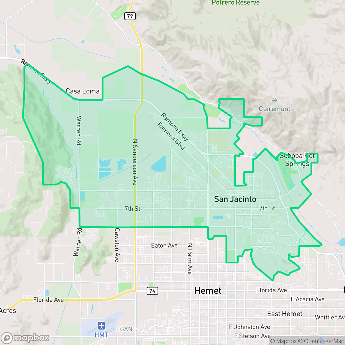
Explore San Jacinto by Neighborhood
San Jacinto Quality Scores
See how neighborhoods in San Jacinto compare on dog friendliness. Rankings are based on measured data aggregated across each neighborhood boundary.
See how neighborhoods in San Jacinto compare on privacy index. Rankings are based on measured data aggregated across each neighborhood boundary.
See how neighborhoods in San Jacinto compare on urban-rural index. Rankings are based on measured data aggregated across each neighborhood boundary.
See how neighborhoods in San Jacinto compare on liveliness and vibe. Rankings are based on measured data aggregated across each neighborhood boundary.
See how neighborhoods in San Jacinto compare on visual appeal. Rankings are based on measured data aggregated across each neighborhood boundary.
See how neighborhoods in San Jacinto compare on walkability. Rankings are based on measured data aggregated across each neighborhood boundary.
See how neighborhoods in San Jacinto compare on acoustic comfort. Rankings are based on measured data aggregated across each neighborhood boundary.
See how neighborhoods in San Jacinto compare on air quality. Rankings are based on measured data aggregated across each neighborhood boundary.
See how neighborhoods in San Jacinto compare on industrial proximity. Rankings are based on measured data aggregated across each neighborhood boundary.
See how neighborhoods in San Jacinto compare on health insurance coverage. Rankings are based on measured data aggregated across each neighborhood boundary.
See how neighborhoods in San Jacinto compare on ideological lean. Rankings are based on measured data aggregated across each neighborhood boundary.
See how neighborhoods in San Jacinto compare on population age profile. Rankings are based on measured data aggregated across each neighborhood boundary.
See how neighborhoods in San Jacinto compare on flood safety. Rankings are based on measured data aggregated across each neighborhood boundary.
See how neighborhoods in San Jacinto compare on fire safety. Rankings are based on measured data aggregated across each neighborhood boundary.
San Jacinto Neighborhood Rankings


iHuus Neighborhood Intelligence Insights
Get address-level neighborhood insights for San Jacinto
- Street-level scores — see how individual blocks compare, not just neighborhood averages
- Micro-zone boundaries — identify quiet pockets, flood boundaries, and walkable clusters before you visit
- 15 dimensions in full — walkability, noise, air quality, school quality, insurance coverage, population age profile, urban/rural index, and more
- Boundary risk alerts — know if your address sits near a block boundary where scores drop, the kind of detail no listing will ever mention
- School insights — individual school ratings and insights, not just district-level data
- Compare before you commit — side-by-side data across neighborhoods, down to block precision
No credit card required