Fort Irwin Neighborhood Intelligence Index
Updated June 22, 2026 · 12 neighborhoods measured
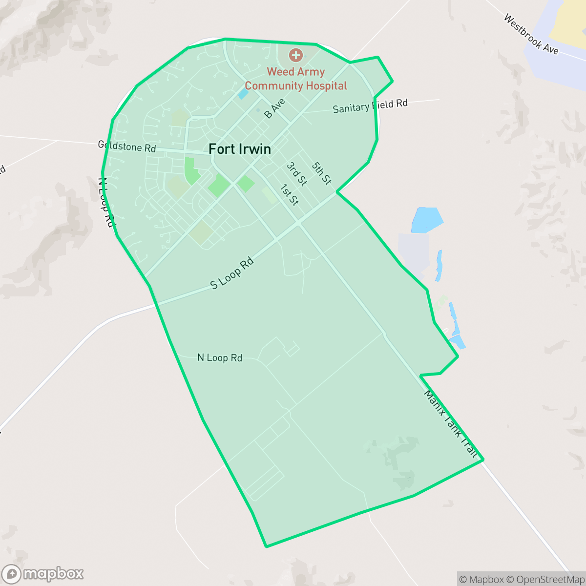
Situated deep within California's Mojave Desert in northern San Bernardino County, Fort Irwin is a major United States Army training center and census-designated place known for hosting the National Training Center. The community features highly walkable neighborhoods and excellent health insurance coverage, making daily life convenient for its residents. However, due to active military training and the harsh desert environment, both acoustic comfort and air quality are significant concerns. The area is also characterized by an exceptionally young population. This unique, isolated outpost is best suited for active-duty military personnel and their families seeking a close-knit, mission-focused community.
Explore Fort Irwin by Neighborhood
Fort Irwin Quality Scores
See how neighborhoods in Fort Irwin compare on dog friendliness. Rankings are based on measured data aggregated across each neighborhood boundary.
See how neighborhoods in Fort Irwin compare on ideological lean. Rankings are based on measured data aggregated across each neighborhood boundary.
See how neighborhoods in Fort Irwin compare on industrial proximity. Rankings are based on measured data aggregated across each neighborhood boundary.
See how neighborhoods in Fort Irwin compare on health insurance coverage. Rankings are based on measured data aggregated across each neighborhood boundary.
See how neighborhoods in Fort Irwin compare on acoustic comfort. Rankings are based on measured data aggregated across each neighborhood boundary.
See how neighborhoods in Fort Irwin compare on population age profile. Rankings are based on measured data aggregated across each neighborhood boundary.
See how neighborhoods in Fort Irwin compare on urban-rural index. Rankings are based on measured data aggregated across each neighborhood boundary.
See how neighborhoods in Fort Irwin compare on liveliness and vibe. Rankings are based on measured data aggregated across each neighborhood boundary.
See how neighborhoods in Fort Irwin compare on visual appeal. Rankings are based on measured data aggregated across each neighborhood boundary.
See how neighborhoods in Fort Irwin compare on privacy index. Rankings are based on measured data aggregated across each neighborhood boundary.
See how neighborhoods in Fort Irwin compare on walkability. Rankings are based on measured data aggregated across each neighborhood boundary.
Fort Irwin Neighborhood Rankings

iHuus Neighborhood Intelligence Insights
Get block-level neighborhood insights for Fort Irwin
- Street-level scores — see how individual blocks compare, not just neighborhood averages
- Micro-zone boundaries — identify quiet pockets, flood boundaries, and walkable clusters before you visit
- 15 dimensions in full — walkability, noise, air quality, school quality, insurance coverage, population age profile, urban/rural index, and more
- Boundary risk alerts — know if your address sits near a block boundary where scores drop, the kind of detail no listing will ever mention
- School insights — individual school ratings and insights, not just district-level data
- Compare before you commit — side-by-side data across neighborhoods, down to block precision
No credit card required