Downey Neighborhood Intelligence Index
Updated June 22, 2026 · 1 neighborhoods measured
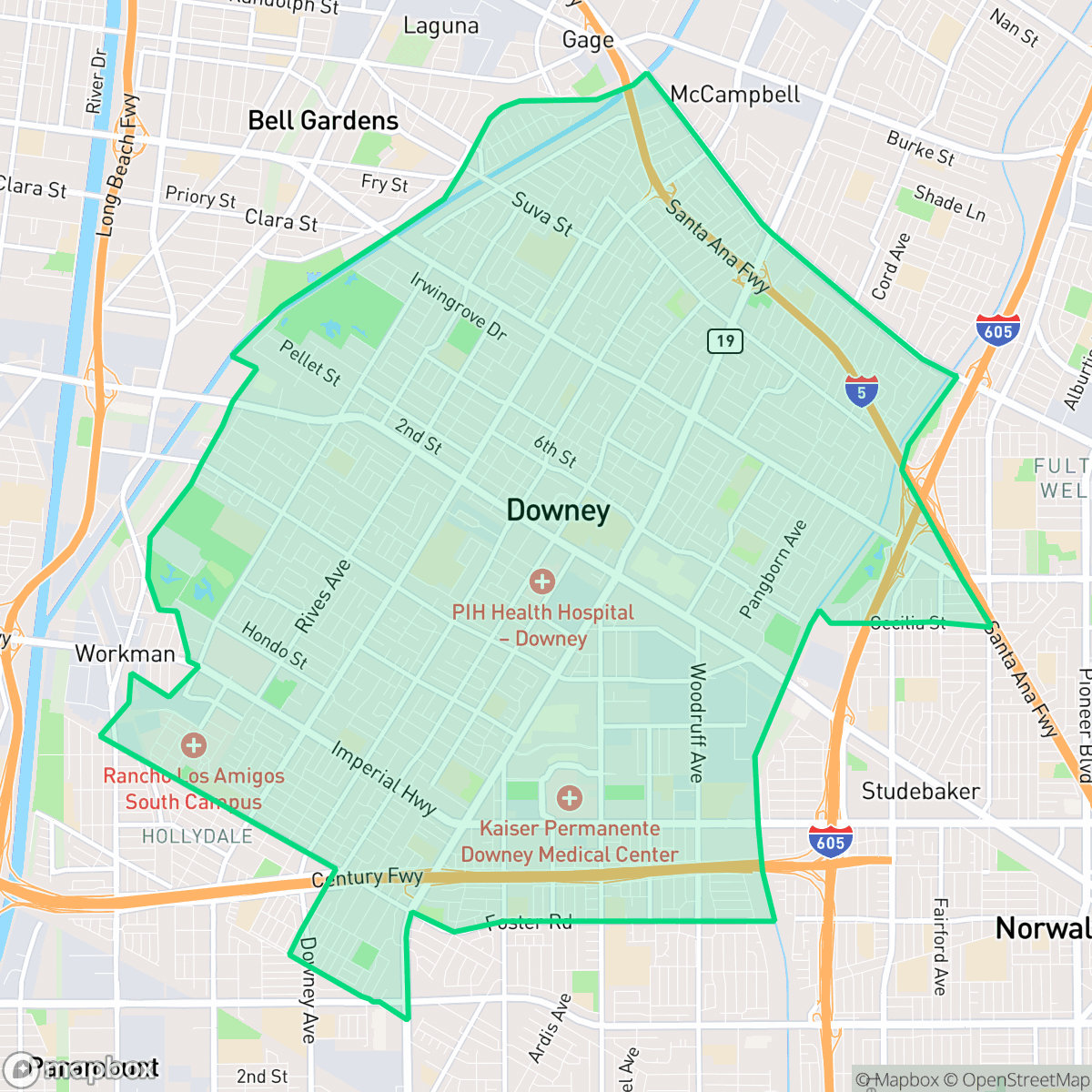
Situated in southeast Los Angeles County, Downey is culturally recognized as the birthplace of the Apollo space program and home to the world's oldest operating McDonald's. This historic city features high walkability across most neighborhoods, making daily errands on foot very convenient. However, residents must contend with significant local noise levels, as acoustic comfort is a notable challenge citywide. The area also faces elevated risks regarding flood safety. Downey is best suited for active professionals and families seeking a diverse, highly walkable suburban community with deep historical roots, provided they do not mind a busier and noisier urban environment.
Explore Downey by Neighborhood
Downey Quality Scores
See how neighborhoods in Downey compare on air quality. Rankings are based on measured data aggregated across each neighborhood boundary.
See how neighborhoods in Downey compare on dog friendliness. Rankings are based on measured data aggregated across each neighborhood boundary.
See how neighborhoods in Downey compare on ideological lean. Rankings are based on measured data aggregated across each neighborhood boundary.
See how neighborhoods in Downey compare on industrial proximity. Rankings are based on measured data aggregated across each neighborhood boundary.
See how neighborhoods in Downey compare on health insurance coverage. Rankings are based on measured data aggregated across each neighborhood boundary.
See how neighborhoods in Downey compare on acoustic comfort. Rankings are based on measured data aggregated across each neighborhood boundary.
See how neighborhoods in Downey compare on population age profile. Rankings are based on measured data aggregated across each neighborhood boundary.
See how neighborhoods in Downey compare on urban-rural index. Rankings are based on measured data aggregated across each neighborhood boundary.
See how neighborhoods in Downey compare on liveliness and vibe. Rankings are based on measured data aggregated across each neighborhood boundary.
See how neighborhoods in Downey compare on visual appeal. Rankings are based on measured data aggregated across each neighborhood boundary.
See how neighborhoods in Downey compare on walkability. Rankings are based on measured data aggregated across each neighborhood boundary.
See how neighborhoods in Downey compare on flood safety. Rankings are based on measured data aggregated across each neighborhood boundary.
See how neighborhoods in Downey compare on privacy index. Rankings are based on measured data aggregated across each neighborhood boundary.
Downey Neighborhood Rankings

iHuus Neighborhood Intelligence Insights
Get block-level neighborhood insights for Downey
- Street-level scores — see how individual blocks compare, not just neighborhood averages
- Micro-zone boundaries — identify quiet pockets, flood boundaries, and walkable clusters before you visit
- 15 dimensions in full — walkability, noise, air quality, school quality, insurance coverage, population age profile, urban/rural index, and more
- Boundary risk alerts — know if your address sits near a block boundary where scores drop, the kind of detail no listing will ever mention
- School insights — individual school ratings and insights, not just district-level data
- Compare before you commit — side-by-side data across neighborhoods, down to block precision
No credit card required