Country Club, Country Club
Updated June 22, 2026 · 5,443 residents
Country Club is a quiet, suburban enclave in Stockton defined by its proximity to the historic golf course and a traditional grid-based street layout. While the area offers a settled residential atmosphere with accessible local dining, residents should be aware of elevated traffic noise from nearby major roadways.
Key Highlights
About Country Club
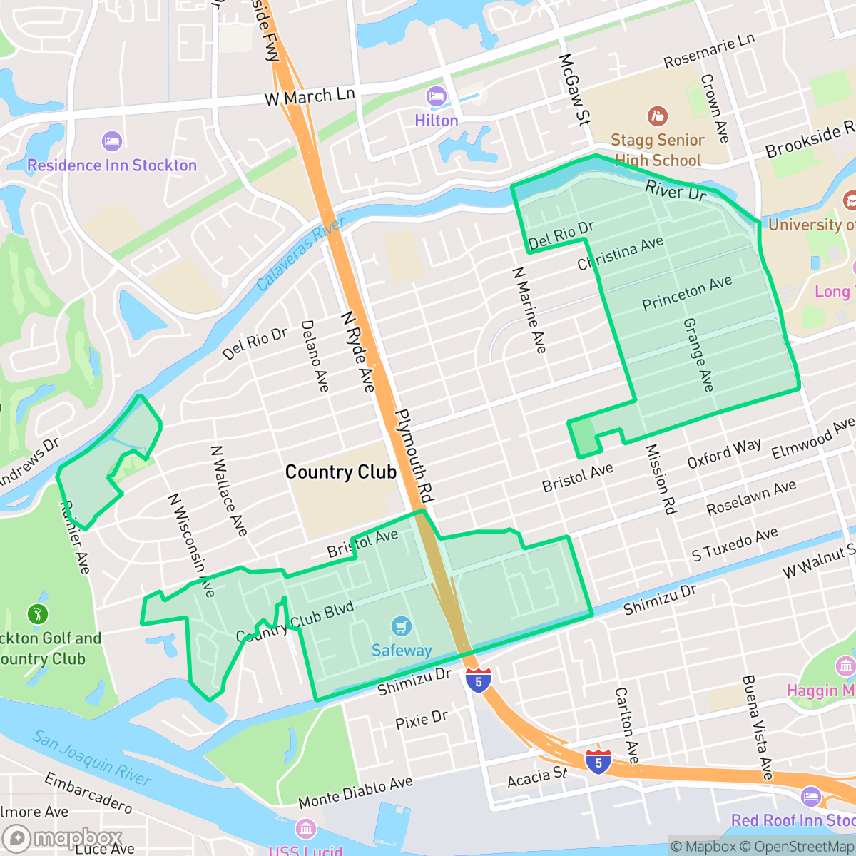
The Country Club neighborhood in San Joaquin County, California, is an unincorporated county island within the city of Stockton. Its identity and development are historically anchored by the Stockton Golf & Country Club, established in 1914 as one of only twelve golf courses in the state. Originally built as a nine-hole course in the area's swampy riverfront, the site underwent significant land reclamation, including levee improvements to prevent flooding from the adjacent San Joaquin River. In the late 1920s, renowned architect Sam Whiting designed a premier 18-hole, park-style course that spurred local residential growth. Today, the neighborhood is characterized by its tree-lined streets, historic mid-century housing stock, and Country Club Boulevard, which leads directly to the historic club.
The neighborhood functions as a dense suburban residential hub characterized by uniform housing and a layout that balances green space with established commercial corridors. Residents benefit from convenient access to local dining options, including casual burger spots and Mexican restaurants, alongside essential services. The area maintains a stable, quiet atmosphere where the street grid facilitates basic movement, although physical barriers such as canals and highways can limit pedestrian connectivity throughout the community.
Prospective residents should weigh the benefits of an established community against specific environmental and infrastructure considerations. According to iHuus data, the area experiences notable road traffic noise, and its proximity to industrial zones warrants awareness of local environmental factors. While the neighborhood serves as a consistent residential choice, families should carefully evaluate the academic landscape of the local school districts, which present a mix of high-performing specialty programs and significant challenges in primary education that require ongoing structural intervention.
Neighborhood Scores Across 15 Qualities
Residential spacing varies across the area, with some clusters featuring closely packed houses and limited buffers between neighbors. According to iHuus data, the level of privacy is roughly in line with the average for the city.
Sidewalks are widely available on residential streets, though major highways and canals can create barriers to connectivity. Walking ease in this area is slightly below the city average due to these localized interruptions.
Streetscapes consist of a variety of housing types, ranging from dense tract developments to larger residences with private amenities. This visual character sits slightly below the city average due to the presence of more uniform, smaller lot layouts in certain sections.
Walking opportunities for pets vary by pocket, as some areas feature continuous green belts and park access while others consist of dense residential streets with narrow verges. This level of accessibility is slightly below the city average according to iHuus data.
Frequent open land and scattered homes amid fields or woodland provide a semi-rural feel that is consistent with the city average. This landscape features a mix of low-density suburban layouts and significant tree canopy coverage according to iHuus data.
Suburban streets and green spaces provide a serene, low-density atmosphere that is slightly calmer than the city average. While the area is largely residential and peaceful, some walkable pockets offer a modest selection of local dining and services.
Frequent sounds from nearby transit corridors, such as busy freeways or railroad tracks, characterize the area. According to iHuus data, acoustic comfort is slightly lower than the city average.
Air quality in this area fluctuates between acceptable and unhealthy levels on certain days. This pattern of occasional concern for sensitive groups is consistent with the city average according to iHuus data.
Primarily residential and light commercial, this area maintains a profile very similar to the city average with no major industrial hazards. While most streets are quiet, some sections of the neighborhood are located near an EPA Superfund site which may involve potential groundwater or soil contaminants according to iHuus data.
Health insurance accessibility in this area is lower than the city average, according to iHuus data.
Political leanings in this area are predominantly liberal, reflecting a trend that is very similar to the broader city average according to iHuus data.
Residents live alongside a balanced mix of young adults, families, and older populations. This demographic distribution is slightly more varied than the average found throughout the city, according to iHuus data.
Properties in this area are located within a known floodplain, which implies a significantly higher risk of flooding than the city average. According to iHuus data, residents should be aware that flood insurance is typically a requirement for homes in this zone.
Block-Level Insights for Country Club

iHuus Neighborhood Intelligence Insights
Get block-level neighborhood insights for Country Club
- Street-level scores — see how individual blocks compare, not just neighborhood averages
- Micro-zone boundaries — identify quiet pockets, flood boundaries, and walkable clusters before you visit
- 15 dimensions in full — walkability, noise, air quality, school quality, insurance coverage, population age profile, urban/rural index, and more
- Boundary risk alerts — know if your address sits near a block boundary where scores drop, the kind of detail no listing will ever mention
- School insights — individual school ratings and insights, not just district-level data
- Compare before you commit — side-by-side data across neighborhoods, down to block precision
No credit card required
Country Club Rankings
School Districts Serving Country Club
Lincoln Unified School District operates as a 'Mixed' system characterized by a high-performing secondary tier and significant academic struggles at the elementary level. While the district maintains a strong reputation for diversity, elite extracurriculars, and high graduation rates that draw interdistrict transfers, its operational stability is currently tested by community concerns over facility reconfigurations and a wide achievement gap across its feeder schools. The organization remains a 'destination' choice in the Stockton area due to its successful high school programs and fiscal transparency, but the 1-3/10 ratings across much of its primary portfolio indicate a need for significant structural intervention to ensure consistent quality.
Schools
Stockton Unified is currently a Distressed district (Rating: 2) characterized by a severe academic divide and significant historical instability. While the current administration has achieved notable milestones—including exceeding state graduation averages, exiting Department of Justice monitoring, and stabilizing leadership—the district's foundation remains weak, with over 20 schools rated 1/10 and math proficiency at a critical low of 17%. Recent board-level criminal scandals and funding cuts to technical programs counteract the 'Blue Chip' aspirations of its high-performing specialty academies. Despite professional management improvements, the district remains a 'high-risk' entity due to the volume of underperforming schools and persistent governance challenges.
Schools
School Insights for Country Club
Below average outcomes; significant attendance and academic challenges.
School Insights
See what's really behind every school rating near Country Club
- Individual school ratings — each school's own score with outcome context, not just a district average
- Enrollment & class size data — student-to-teacher ratio and how it compares to the state average
- Full demographics breakdown — ethnicity and gender composition for every school in the enrollment zone
- Every school in the district — all schools within the enrollment boundary ranked by rating, not just the closest one
- Grade levels & benchmarks — elementary through high school, with below/above state-average flags
No credit card required