Cherryland Neighborhood Intelligence Index
Updated June 22, 2026 · 1 neighborhoods measured
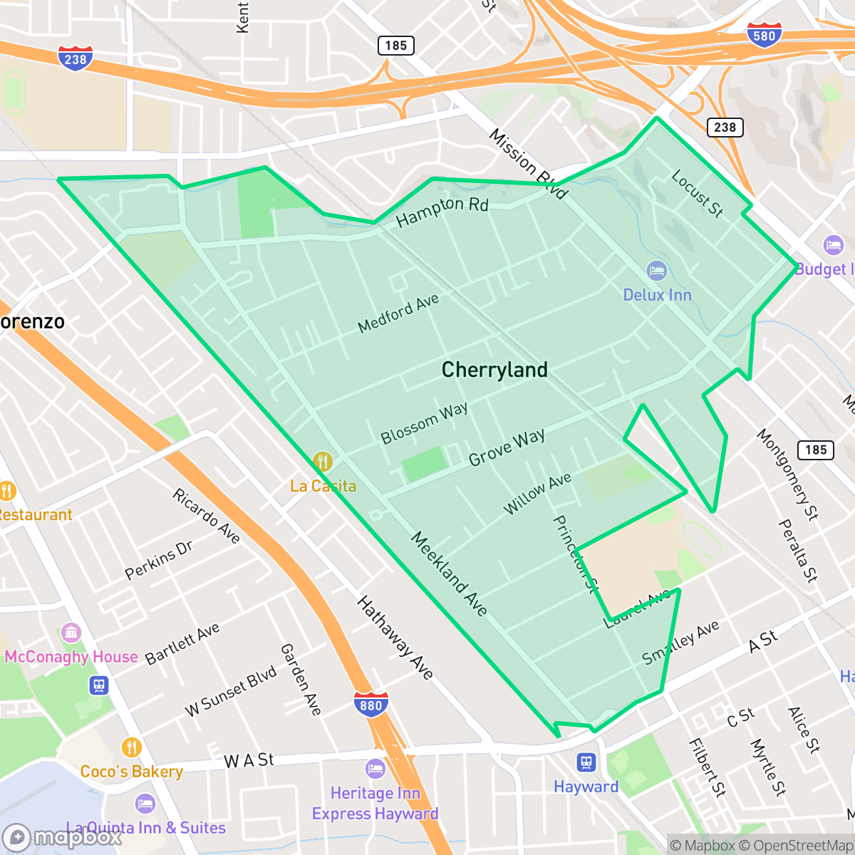
Cherryland, California, is an unincorporated community in Alameda County situated between Ashland and Hayward, recognized for its historic agricultural roots and the landmark Meek Mansion. Today, this residential enclave offers a highly walkable environment alongside excellent health insurance coverage rates and a strongly progressive community lean. However, residents face notable environmental vulnerabilities, particularly extreme risks regarding flood and fire safety. With its quiet, suburban-meets-urban character, Cherryland is best suited for civic-minded individuals seeking a walkable, historically rich East Bay neighborhood who do not mind a more subdued local nightlife.
Explore Cherryland by Neighborhood
Cherryland Quality Scores
See how neighborhoods in Cherryland compare on air quality. Rankings are based on measured data aggregated across each neighborhood boundary.
See how neighborhoods in Cherryland compare on dog friendliness. Rankings are based on measured data aggregated across each neighborhood boundary.
See how neighborhoods in Cherryland compare on flood safety. Rankings are based on measured data aggregated across each neighborhood boundary.
See how neighborhoods in Cherryland compare on ideological lean. Rankings are based on measured data aggregated across each neighborhood boundary.
See how neighborhoods in Cherryland compare on industrial proximity. Rankings are based on measured data aggregated across each neighborhood boundary.
See how neighborhoods in Cherryland compare on health insurance coverage. Rankings are based on measured data aggregated across each neighborhood boundary.
See how neighborhoods in Cherryland compare on acoustic comfort. Rankings are based on measured data aggregated across each neighborhood boundary.
See how neighborhoods in Cherryland compare on population age profile. Rankings are based on measured data aggregated across each neighborhood boundary.
See how neighborhoods in Cherryland compare on urban-rural index. Rankings are based on measured data aggregated across each neighborhood boundary.
See how neighborhoods in Cherryland compare on liveliness and vibe. Rankings are based on measured data aggregated across each neighborhood boundary.
See how neighborhoods in Cherryland compare on walkability. Rankings are based on measured data aggregated across each neighborhood boundary.
See how neighborhoods in Cherryland compare on privacy index. Rankings are based on measured data aggregated across each neighborhood boundary.
See how neighborhoods in Cherryland compare on visual appeal. Rankings are based on measured data aggregated across each neighborhood boundary.
Cherryland Neighborhood Rankings

iHuus Neighborhood Intelligence Insights
Get block-level neighborhood insights for Cherryland
- Street-level scores — see how individual blocks compare, not just neighborhood averages
- Micro-zone boundaries — identify quiet pockets, flood boundaries, and walkable clusters before you visit
- 15 dimensions in full — walkability, noise, air quality, school quality, insurance coverage, population age profile, urban/rural index, and more
- Boundary risk alerts — know if your address sits near a block boundary where scores drop, the kind of detail no listing will ever mention
- School insights — individual school ratings and insights, not just district-level data
- Compare before you commit — side-by-side data across neighborhoods, down to block precision
No credit card required