Downown Berkeley, Berkeley
Updated June 22, 2026 · 4,727 residents
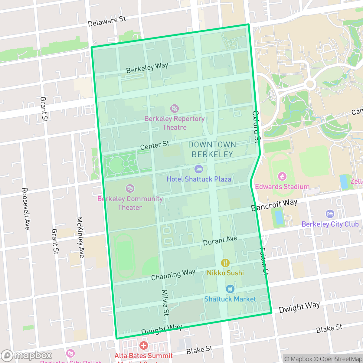
Downtown Berkeley serves as the vibrant academic and cultural core of the city, defined by its perfect walkability and dense urban grid. Residents enjoy immediate access to world-class performing arts, diverse dining, and the nearby University of California campus, though the area is characterized by high-density living and notable road noise.
Key Highlights
About Downown Berkeley
Downtown Berkeley’s development began in 1876 when pioneer landowner Francis Kittredge Shattuck persuaded the Central Pacific Railroad to build a spur line through his property, establishing the "Berkeley Station" depot around Shattuck and University avenues. Originally, Strawberry Creek ran through the area before being culverted in the 1890s. The neighborhood experienced a massive development boom following the 1906 San Francisco earthquake. Today, the neighborhood boasts historic landmarks such as the 1909 Old Berkeley City Hall (Maudelle Shirek Building), the Shattuck Hotel, and the Studio Building. Downtown’s Addison Street has evolved from a strip of auto body shops into the vibrant Downtown Arts District, a cultural hub home to the Berkeley Repertory Theatre, the Aurora Theatre Company, and the Freight & Salvage performing arts venue.
This neighborhood functions as the primary transit and cultural hub for the city, offering a dense, urban environment that prioritizes pedestrian access. According to iHuus data, the area features a perfect walkability score, allowing residents to navigate the grid of commercial blocks, institutional buildings, and residential units without a vehicle. The local atmosphere is consistently active, supported by the Berkeley Art Museum, numerous cafes, and a concentration of restaurants that cater to both the student population and long-term residents. The infrastructure is well-maintained, with excellent air quality and high rates of health insurance coverage among the local population.
Living in this area involves specific trade-offs regarding privacy and acoustic comfort. Because residential structures are tightly packed with many shared walls, residents may experience noise levels averaging 58 decibels, primarily due to road traffic. The neighborhood is best suited for individuals who prioritize proximity to public transit, cultural amenities, and the university over quiet, expansive living spaces. Families are supported by the Berkeley Unified School District, which includes the highly regarded Berkeley High School, though prospective residents should consider the density and urban nature of the environment when evaluating long-term housing options.
Neighborhood Scores Across 15 Qualities
Residential structures are closely packed with many shared walls and minimal spacing between buildings. According to iHuus data, this level of density is slightly higher than the Berkeley average.
Continuous sidewalks and high-visibility crosswalks make navigating the area on foot effortless. This dense street grid provides more pedestrian-priority zones than the typical Berkeley neighborhood.
Dense apartment blocks and mid-sized multi-unit housing characterize the area, though visual variety is slightly lower than the Berkeley average. The streetscape features consistent urban architecture and limited private greenery.
Multiple public parks and wide, tree-lined sidewalks offer reliable areas for pet exercise. According to iHuus data, the availability of these green verges and athletic fields is consistent with the city average.
Primarily composed of a dense urban grid, this area features multi-story commercial and residential blocks with very little open space. The landscape is more built-up than the typical Berkeley neighborhood, according to iHuus data.
Dense clusters of diverse dining, cafes, and cultural landmarks create an energetic atmosphere that is significantly more active than the Berkeley average. According to iHuus data, the area features a high concentration of social destinations and mid-rise urban activity.
Local traffic from nearby busy streets creates a persistent background noise. This level of acoustic activity is slightly higher than the average for Berkeley, according to iHuus data.
Air quality remains consistently high with minimal health concerns. According to iHuus data, levels are slightly better than the Berkeley city average.
The area is composed entirely of residential, commercial, and institutional buildings with no detected warehouses or heavy industrial facilities. According to iHuus data, this absence of industrial activity is more pronounced here than in the rest of the city.
Health insurance access is nearly universal among residents, performing at a level very similar to the Berkeley average according to iHuus data.
Voting patterns and census indicators reflect a deeply liberal political climate that is consistent with the broader Berkeley area, according to iHuus data.
Residents represent a balanced mix of young adults, families, and older individuals, though the population leans slightly younger than the Berkeley average according to iHuus data.
Located within a designated floodplain, this area faces a significantly higher risk of flooding compared to the Berkeley average. Residents should expect a need for flood insurance according to iHuus data.
Block-Level Insights for Downown Berkeley

iHuus Neighborhood Intelligence Insights
Get block-level neighborhood insights for Downown Berkeley
- Street-level scores — see how individual blocks compare, not just neighborhood averages
- Micro-zone boundaries — identify quiet pockets, flood boundaries, and walkable clusters before you visit
- 15 dimensions in full — walkability, noise, air quality, school quality, insurance coverage, population age profile, urban/rural index, and more
- Boundary risk alerts — know if your address sits near a block boundary where scores drop, the kind of detail no listing will ever mention
- School insights — individual school ratings and insights, not just district-level data
- Compare before you commit — side-by-side data across neighborhoods, down to block precision
No credit card required
Downown Berkeley Rankings
School Districts Serving Downown Berkeley
Berkeley Unified School District is a high-performing, stable organization characterized by exceptional elementary feeder schools and a prestigious flagship high school. While the district faces significant social pressures, including federal climate investigations and a persistent achievement gap for underserved populations, its operational foundation remains robust due to strong local tax support and high teacher quality. The recent successful resolution of contract negotiations and a transition toward phonics-based literacy programs signal a proactive administration. BUSD remains a top-tier choice for families seeking academic rigor and diverse extracurriculars, though its secondary alternative programs show significant room for improvement.
Schools
School Insights for Downown Berkeley
Below average outcomes; significant attendance and academic challenges.
School Insights
See what's really behind every school rating near Downown Berkeley
- Individual school ratings — each school's own score with outcome context, not just a district average
- Enrollment & class size data — student-to-teacher ratio and how it compares to the state average
- Full demographics breakdown — ethnicity and gender composition for every school in the enrollment zone
- Every school in the district — all schools within the enrollment boundary ranked by rating, not just the closest one
- Grade levels & benchmarks — elementary through high school, with below/above state-average flags
No credit card required